2 Cartleach Grove, Worsley, Manchester, M28 0HD
About 2 Cartleach Grove
2 Cartleach Grove is a semi-detached house in Worsley, Manchester, Manchester (M28 0HD). It has a recorded floor area of 100 m² (around 1076 sq ft), construction records dating it to 1950-1966 and council tax band B. The latest certificate (March 2017) shows a C (score 74). The rating has held steady at C across 2 certificates since October 2010. The recommended improvements would push it to B (score 87).
At 100 m² the property is well over the postcode median (69 m² across 15 EPCs), placing it in the larger end of the local stock.
Everything you need to know about 2 Cartleach Grove
The true value, the hidden risks and the full sale history, in one report.
Pick your report · every report is £14.99
One time fee only - money back guarantee

The data behind every report


Energy performance
EPC Rating
Get a survey for this property
Level 2 HomeBuyer Report
We've checked 10 risk factors against the available data for this property and believe a Level 2 HomeBuyer Report could be a suitable option for you.
From £545 · Includes VAT
Planning history
2 Cartleach Grove has no planning applications on record.
But the area is active
5 notable applications nearby — larger schemes and conversions that could reshape the street. The report maps them all.
Sales history & valuation
2 Cartleach Grove has no Land Registry sales on file, suggesting it has stayed in the same hands since registration began.
£233,000
Modelled from EPC, postcode comparables.
No sales recorded with HM Land Registry
That can mean the property has never traded since the registry began publishing in 1995, was a new build that hasn't been registered yet, or is held in the same hands long-term.
Median price across the last 2 sales in M28 0HD: £129,000 (2021–2019).
Nearby sales in M28 0HD
Versus other Cartleach Grove homes
EPC Rating for 2 Cartleach Grove runs comfortably ahead of the street norm.
EPC Rating
74 (C)
Street avg 70 (C)
Floor Area
100 m²
Street avg 83 m²
CO₂ Emissions
3.0 t/year
Street avg 3.0 t/year
Habitable Rooms
5 rooms
Street avg 5 rooms
Everything you need to know about 2 Cartleach Grove
The true value, the hidden risks and the full sale history, in one report.
Pick your report · every report is £14.99
One time fee only - money back guarantee
The data behind every report
Similar properties nearby
1 Chapelfield Drive, Worsley
M28 0SU
1 Bowfell Close, Worsley
M28 0AN
1 Courtyard Drive, Worsley
M28 0YR
1 Clock Tower Close, Worsley
M28 0YD
1 Barrowshaw Close, Worsley
M28 0GF
1 Hilton Bank, Worsley
M28 0RX
1 Gibson Lane, Worsley
M28 0BJ
1 Hallview Way, Worsley
M28 0BF
The neighbourhood at a glance
Daytime road noise here sits well below conversation level — a quiet pocket of the postcode.
Nearest stop
0.2 km
Barry Crescent — bus stop.
Closest school
0.4 km
Hilton Lane Primary School. 33 schools nearby.
Go deeper on the local area
A Local Area report breaks down crime, transport links, schools and air quality in depth.
Road noise across the postcode
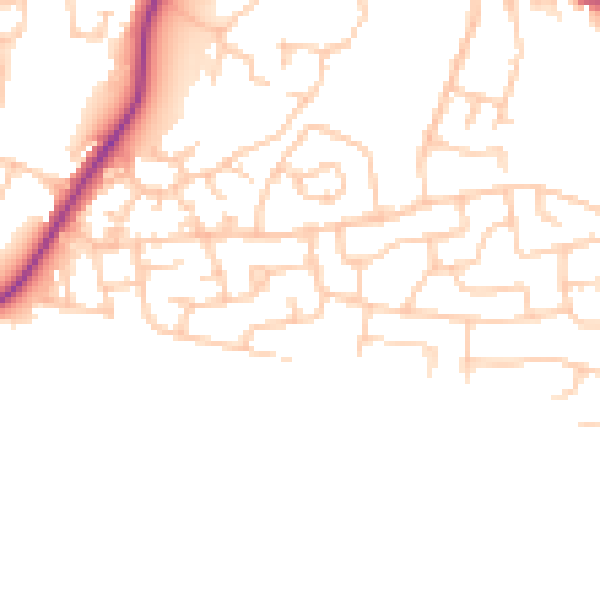
Daytime· 07:00 – 23:00
47.6dB

Night-time· 23:00 – 07:00
39.0dB