152 Longshaw Drive, Worsley, Manchester, M28 0BW
About 152 Longshaw Drive
152 Longshaw Drive is an end-of-terrace house in Worsley, Manchester, Manchester (M28 0BW). It has a recorded floor area of 63 m² (around 678 sq ft), construction records dating it to 1950-1966 and council tax band A. The latest certificate (February 2013) shows a D (score 68), on the cusp of jumping into the C band. The recommended improvements would lift it to B (score 85), a 2-band jump. The latest certificate is from February 2013, so improvements made since then won't be reflected.
At 63 m² it's 22.2% smaller than the typical home in the postcode (81 m² median across 16 EPCs).
Everything you need to know about 152 Longshaw Drive
The true value, the hidden risks and the full sale history, in one report.
Pick your report · every report is £14.99
One time fee only - money back guarantee

The data behind every report


Energy performance
Recommended upgrades on file would lift this property by multiple EPC bands.
EPC Expired
This certificate is over 10 years old and is no longer valid.Expired 02 Feb 2023
EPC Rating
Get a survey for this property
Level 2 HomeBuyer Report
We've checked 10 risk factors against the available data for this property and believe a Level 2 HomeBuyer Report could be a suitable option for you.
From £495 · Includes VAT
Planning history
152 Longshaw Drive has no planning applications on record.
But the area is active
5 notable applications nearby — larger schemes and conversions that could reshape the street. The report maps them all.
Sales history & valuation
152 Longshaw Drive has no Land Registry sales on file, suggesting it has stayed in the same hands since registration began.
£171,000
Modelled from EPC, postcode comparables.
No sales recorded with HM Land Registry
That can mean the property has never traded since the registry began publishing in 1995, was a new build that hasn't been registered yet, or is held in the same hands long-term.
Median price across the last 5 sales in M28 0BW: £72,286 (2023–2003).
Nearby sales in M28 0BW
182 Longshaw Drive, Worsley, Manchester, M28 0BW
Sold Mar 2023
£72,286168 Longshaw Drive, Worsley, Manchester, M28 0BW
Sold Sept 2005
£65,000174 Longshaw Drive, Worsley, Manchester, M28 0BW
Sold Dec 2004
£87,500148 Longshaw Drive, Worsley, Manchester, M28 0BW
Sold Mar 2003
£42,500150 Longshaw Drive, Worsley, Manchester, M28 0BW
Sold Apr 2002
£34,500
Versus other Longshaw Drive homes
On floor area, 152 Longshaw Drive runs well behind the street norm.
EPC Rating
68 (D)
Street avg 71 (C)
Floor Area
63 m²
Street avg 84 m²
CO₂ Emissions
2.3 t/year
Street avg 2.9 t/year
Habitable Rooms
3 rooms
Street avg 5 rooms
Everything you need to know about 152 Longshaw Drive
The true value, the hidden risks and the full sale history, in one report.
Pick your report · every report is £14.99
One time fee only - money back guarantee
The data behind every report
Similar properties nearby
1 Gibson Grove, Worsley
M28 0BH
1 Aspinall Grove, Worsley
M28 0LD
1 Fleetwood Road, Worsley
M28 0HB
1 Aspinall Close, Worsley
M28 0JP
1 Fairhurst Drive, Worsley
M28 0JJ
1 Cartleach Lane, Worsley
M28 0JD
1 Carrfield Grove, Worsley
M28 0DW
1 Cartleach Grove, Worsley
M28 0HD
The neighbourhood at a glance
Nearest stop
0.1 km
Longshaw Drive — bus stop.
Closest school
0.2 km
Hilton Lane Primary School. 34 schools nearby.
Go deeper on the local area
A Local Area report breaks down crime, transport links, schools and air quality in depth.
Road noise across the postcode
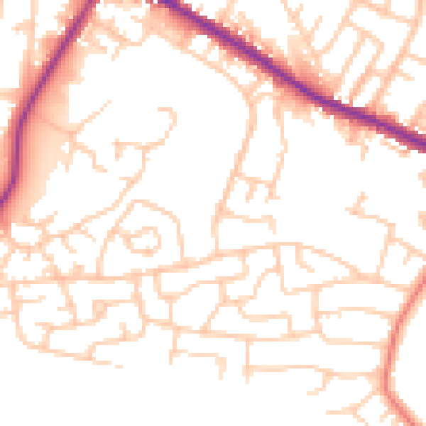
Daytime· 07:00 – 23:00
51.5dB

Night-time· 23:00 – 07:00
41.5dB