1 Fairhurst Drive, Worsley, Manchester, M28 0JJ
About 1 Fairhurst Drive
1 Fairhurst Drive is a semi-detached house in Worsley, Manchester, Manchester (M28 0JJ). It has a recorded floor area of 75 m² (around 807 sq ft), construction records dating it to 2012 onwards and council tax band A. The latest certificate (March 2023) shows a C (score 78), near the top of the C band. Earlier certificates rated it B (October 2014); the latest reading is one band lower. Between certificates, roof efficiency dropped from Very Good to Good and window efficiency dropped from Very Good to Good. The recommended improvements would push it to B (score 90).
Everything you need to know about 1 Fairhurst Drive
The true value, the hidden risks and the full sale history, in one report.
Pick your report · every report is £14.99
One time fee only - money back guarantee

The data behind every report


Energy performance
EPC Rating
Get a survey for this property
Level 2 HomeBuyer Report
We've checked 10 risk factors against the available data for this property and believe a Level 2 HomeBuyer Report could be a suitable option for you.
From £495 · Includes VAT
Planning history
1 Fairhurst Drive has no planning applications on record.
But the area is active
5 notable applications nearby — larger schemes and conversions that could reshape the street. The report maps them all.
Sales history & valuation
1 Fairhurst Drive has no Land Registry sales on file, suggesting it has stayed in the same hands since registration began.
£181,000
Modelled from EPC, postcode comparables.
No sales recorded with HM Land Registry
That can mean the property has never traded since the registry began publishing in 1995, was a new build that hasn't been registered yet, or is held in the same hands long-term.
Median price across the last 5 sales in M28 0JJ: £80,000 (2025–2015).
Nearby sales in M28 0JJ
59 Fairhurst Drive, Worsley, Manchester, M28 0JJ
Sold Oct 2025
£75,00043 Fairhurst Drive, Worsley, Manchester, M28 0JJ
Sold Oct 2023
£193,15039 Fairhurst Drive, Worsley, Manchester, M28 0JJ
Sold Oct 2018
£80,00049 Fairhurst Drive, Worsley, Manchester, M28 0JJ
Sold Oct 2017
£80,00029a, Fairhurst Drive, Worsley, Manchester, M28 0JJ
Sold Jul 2015
£115,000
Versus other Fairhurst Drive homes
EPC Rating for 1 Fairhurst Drive runs comfortably ahead of the street norm.
EPC Rating
78 (C)
Street avg 71 (C)
Floor Area
75 m²
Street avg 79 m²
CO₂ Emissions
1.9 t/year
Street avg 2.7 t/year
Habitable Rooms
4 rooms
Street avg 5 rooms
Everything you need to know about 1 Fairhurst Drive
The true value, the hidden risks and the full sale history, in one report.
Pick your report · every report is £14.99
One time fee only - money back guarantee
The data behind every report
Similar properties nearby
1 Cartleach Lane, Worsley
M28 0JD
1 Carrfield Grove, Worsley
M28 0DW
1 Cartleach Grove, Worsley
M28 0HD
1 Barry Crescent, Worsley
M28 0JA
1 Eastwood Avenue, Worsley
M28 0HG
1 Gibson Grove, Worsley
M28 0BH
1 Aspinall Grove, Worsley
M28 0LD
1 Fleetwood Road, Worsley
M28 0HB
The neighbourhood at a glance
Daytime road noise here sits well below conversation level — a quiet pocket of the postcode.
Nearest stop
0.2 km
Aspinall Crescent — bus stop.
Closest school
0.4 km
Peel Hall Primary School. 30 schools nearby.
Go deeper on the local area
A Local Area report breaks down crime, transport links, schools and air quality in depth.
Road noise across the postcode
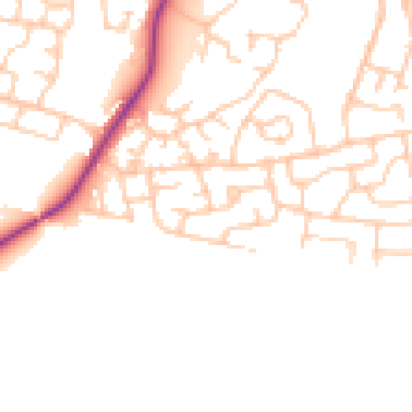
Daytime· 07:00 – 23:00
48.1dB

Night-time· 23:00 – 07:00
39.5dB