16 Brierley Drive, Middleton, Manchester, M24 1DQ
About 16 Brierley Drive
16 Brierley Drive is a property in Middleton, Manchester, Manchester (M24 1DQ). It has council tax band A.
Untraded for 26 years, with the last transfer in September 2000. Across 1996–2000, sale prices on this property compounded at 1.1% per year.
Everything you need to know about 16 Brierley Drive
The true value, the hidden risks and the full sale history, in one report.
Pick your report · every report is £14.99
One time fee only - money back guarantee

The data behind every report


Energy performance
No EPC on record
This property doesn't have an Energy Performance Certificate yet. An EPC is required to sell or let — and unlocks our automated valuation.
Get a survey for this property
Level 2 HomeBuyer Report
We've checked 10 risk factors against the available data for this property and believe a Level 2 HomeBuyer Report could be a suitable option for you.
Planning history
16 Brierley Drive has no planning applications on record.
But the area is active
5 notable applications nearby — larger schemes and conversions that could reshape the street. The report maps them all.
Sales history & valuation
£44,995
Growth on file: 1.1% per year over 4 years.
Sales timeline
28 September 2000Most recent
£44,995
+4.6%over 3 years29 September 1996
£43,000
Median price across the last 5 sales in M24 1DQ: £175,000 (2025–2020).
Nearby sales in M24 1DQ
28 Brierley Drive, Middleton, Manchester, M24 1DQ
Sold Jul 2025
£220,0008 Brierley Drive, Middleton, Manchester, M24 1DQ
Sold Oct 2022
£278,00040 Brierley Drive, Middleton, Manchester, M24 1DQ
Sold Aug 2022
£175,00032 Brierley Drive, Middleton, Manchester, M24 1DQ
Sold Dec 2020
£135,00036 Brierley Drive, Middleton, Manchester, M24 1DQ
Sold Oct 2020
£142,000
Everything you need to know about 16 Brierley Drive
The true value, the hidden risks and the full sale history, in one report.
Pick your report · every report is £14.99
One time fee only - money back guarantee
The data behind every report
Similar properties nearby
1 Brow Avenue, Middleton
M24 1UL
1 Adelaide Street, Middleton
M24 1BF
1 Crossby Close, Middleton
M24 1NU
1 Brookside Crescent, Middleton
M24 1RP
1 Arden Avenue, Middleton
M24 1PN
1 Boardman Fold Road, Middleton
M24 1QD
1 Andover Avenue, Middleton
M24 1JG
1 Albert Street, Middleton
M24 1BJ
The neighbourhood at a glance
Crime
1/mo
Steady year-on-year across the wider district.
Nearest stop
0.1 km
St Peter's Primary School — bus stop.
Closest school
0.2 km
St Peter's Roman Catholic Primary School, Rochdale. 32 schools nearby.
Go deeper on the local area
A Local Area report breaks down crime, transport links, schools and air quality in depth.
Road noise across the postcode
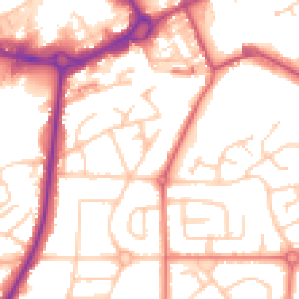
Daytime· 07:00 – 23:00
53.7dB

Night-time· 23:00 – 07:00
44.0dB