17 St Brannocks Road, Manchester, M21 0UP
About 17 St Brannocks Road
17 St Brannocks Road is a semi-detached house in Manchester (M21 0UP). It has a recorded floor area of 136 m² (around 1466 sq ft), construction records dating it to 1930-1949 and council tax band D. The latest certificate (May 2010) shows an F (score 38), near the bottom of the EPC scale. The recommended improvements would lift it to D (score 64), a 2-band jump. The latest certificate is from May 2010, so improvements made since then won't be reflected.
On energy efficiency it sits in the bottom 10% of properties in this postcode — significant headroom for improvement. Across 2010–2014, sale prices on this property compounded at 6.6% per year. Today's modelled estimate of £538,000 is 37.9% above the 2014 sale price. On a £-per-square-foot basis, the last sale (£266/sq ft) was about 90% above the typical sold price in the postcode. 11 years since the last transfer (December 2014).
Know exactly what you're buying at 17 St Brannocks Road
Before you offer, see what the listing won't tell you, the true value, the red flags and the full history.
Already flagged here
Valuation
against the asking price
Risks
planning & flood
Sold prices
similar homes nearby
Trends
the local market
Energy performance
17 St Brannocks Road sits at the bottom of the postcode for energy efficiency — meaningful headroom to improve.
EPC Expired
This certificate is over 10 years old and is no longer valid.Expired 19 May 2020
EPC Rating
Planning history
17 St Brannocks Road has no planning applications on record.
Notable planning nearby
4applications of note in the surrounding area
We flagged 1 thing worth checking at 17 St Brannocks Road
Independent checks surfaced things a buyer would want to understand before offering. The report explains each one in full, with the underlying data and what to ask.
- Larger development activity nearby
30-day money-back guarantee
Sales history & valuation
17 St Brannocks Road valuation sits well clear of the typical sold price in this postcode.
£538,000
Modelled from EPC, postcode comparables and a sale-price growth of 6.6% per year over 4 years.
£390,000
Growth on file: 6.6% per year over 4 years.
Sales timeline
5 December 2014Most recent
£390,000
+32.2%over 4 years27 July 2010
£295,000
Median price across the last 5 sales in M21 0UP: £435,000 (2023–2011).
Nearby sales in M21 0UP
14 St Brannocks Road, Manchester, M21 0UP
Sold Oct 2023
£585,0008 St Brannocks Road, Manchester, M21 0UP
Sold May 2016
£475,00019 St Brannocks Road, Manchester, M21 0UP
Sold Aug 2015
£435,00015 St Brannocks Road, Manchester, M21 0UP
Sold Sept 2012
£300,00010 St Brannocks Road, Manchester, M21 0UP
Sold Oct 2011
£338,500
Everything we know about 17 St Brannocks Road, in one report
What it's really worth, what could be wrong, and the planning, sales and area data in full.
What we flagged
- Larger development activity nearby

Versus other St Brannocks Road homes
On habitable rooms, 17 St Brannocks Road runs well behind the street norm.
Price per m²
£2,863
Street avg £1,700
Floor Area
136 m²
Street avg 182 m²
Habitable Rooms
5 rooms
Street avg 7 rooms
CO₂ Emissions
9.5 t/year
Street avg 8.9 t/year
Similar properties nearby
The neighbourhood at a glance
Rail-style transport is unusually close for this postcode.
Nearest stop
0.2 km
St Werburgh's — bus stop.
Closest school
0.8 km
St Margaret's CofE Primary School. 46 schools nearby.
Go deeper on the local area
The full report breaks down crime, transport links, schools and air quality in depth.
Road noise across the postcode
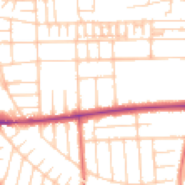
Daytime· 07:00 – 23:00
51.1dB

Night-time· 23:00 – 07:00
40.3dB