242 Manley Road, Manchester, M21 0RD
About 242 Manley Road
242 Manley Road is a three-bedroom semi-detached house in Manchester (M21 0RD). It has a recorded floor area of 166 m² (around 1787 sq ft), construction records dating it to 1900-1929 and council tax band C. The latest certificate (May 2016) shows a C (score 69), just inside the C band. The latest certificate is from May 2016, so improvements made since then won't be reflected.
Held since September 2007 — that's 19 years off the open market, well above the local norm. That sale landed at the peak of the pre-credit-crunch market, which is a useful reference point when interpreting the price. Across 1996–2007, sale prices on this property compounded at 32.1% per year. Today's modelled estimate of £527,000 sits 115.1% above the 2007 sale of £245,000. On a £-per-square-foot basis, the last sale (£137/sq ft) was about 43.7% above the typical sold price in the postcode. One planning record on file: an annexe approved in 2009. Past consents include an annexe, meaningful when judging how the property has evolved. At 166 m² it's 17.7% larger than the typical home in the postcode (141 m² median across 7 EPCs). Its energy rating outperforms most of the postcode (better than 71% of similar EPCs).
Know exactly what you're buying at 242 Manley Road
Before you offer, see what the listing won't tell you, the true value, the red flags and the full history.
Already flagged here
Valuation
against the asking price
Risks
planning & flood
Sold prices
similar homes nearby
Trends
the local market
What this property has
Inside
- Bedrooms3
Energy performance
EPC Expired
This certificate is over 10 years old and is no longer valid.Expired 18 May 2026
EPC Rating
Planning history
- Dec 2009AnnexFullIn report
Retrospective application for the erection of a single storey building to form granny flat
- Agent
- Goodchild Architectural
Retrospective- Documents
- 5 docs on file
- Reference
- 091182/FH/2009/S1
We flagged 1 thing worth checking at 242 Manley Road
Independent checks surfaced things a buyer would want to understand before offering. The report explains each one in full, with the underlying data and what to ask.
- Larger development activity nearby
30-day money-back guarantee
Sales history & valuation
Price for 242 Manley Road has grown more than fourfold since the 1996 starting point.
£527,000
Modelled from EPC, postcode comparables and a sale-price growth of 32.1% per year over 11 years.
£245,000
Growth on file: 32.1% per year over 11 years.
Sales timeline
25 September 2007Most recent
£245,000
+276.9%over 6 years17 October 2000
£65,000
+550.0%over 4 years2 April 1996
£10,000
Median price across the last 5 sales in M21 0RD: £175,000 (2020–2006).
Nearby sales in M21 0RD
Everything we know about 242 Manley Road, in one report
What it's really worth, what could be wrong, and the planning, sales and area data in full.
What we flagged
- Larger development activity nearby

Versus other Manley Road homes
242 Manley Road is notably below the street on habitable rooms.
Price per m²
£1,476
Street avg £1,329
Floor Area
166 m²
Street avg 145 m²
Habitable Rooms
6 rooms
Street avg 8 rooms
CO₂ Emissions
5.4 t/year
Street avg 6.3 t/year
Similar properties nearby
1 Selborne Road
M21 0BL
1 Kildare Road
M21 0YG
1 Desford Avenue
M21 0TG
1 Marchwood Avenue
M21 0TZ
1 Lisburn Avenue
M21 0TQ
10 Clarendon Road West
M21 0RW
1 Clarendon Road West
M21 0RN
1 White Moss Avenue
M21 0XU
The neighbourhood at a glance
Rail-style transport is unusually close for this postcode.
Nearest stop
0.0 km
Abbotsford Road — bus stop.
Closest school
0.6 km
Oswald Road Primary School. 45 schools nearby.
Go deeper on the local area
The full report breaks down crime, transport links, schools and air quality in depth.
Road noise across the postcode
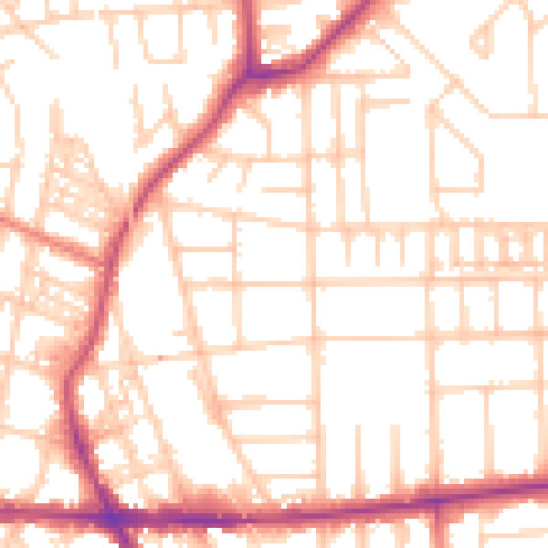
Daytime· 07:00 – 23:00
53.0dB

Night-time· 23:00 – 07:00
42.1dB