169 Mauldeth Road West, Withington, Manchester, M20 1BJ
About 169 Mauldeth Road West
169 Mauldeth Road West is a three-bedroom property in Withington, Manchester, Manchester (M20 1BJ). It has council tax band A.
Untraded for 17 years, with the last transfer in September 2009. That sale fell during the post-crash dip, which often skews comparisons against later neighbouring sales.
What this property has
Inside
- Bedrooms3
Outside
- Private gardenYes
- ParkingYes
Building
- Central heatingYes
Everything you need to know about 169 Mauldeth Road West
The true value, the hidden risks and the full sale history, in one report.
Pick your report · every report is £14.99
One time fee only - money back guarantee

The data behind every report


Energy performance
No EPC on record
This property doesn't have an Energy Performance Certificate yet. An EPC is required to sell or let — and unlocks our automated valuation.
Get a survey for this property
Level 2 HomeBuyer Report
We've checked 10 risk factors against the available data for this property and believe a Level 2 HomeBuyer Report could be a suitable option for you.
Planning history
169 Mauldeth Road West has no planning applications on record.
But the area is active
1 notable application nearby — larger schemes and conversions that could reshape the street. The report maps them all.
Sales history & valuation
The latest sale fell during the post-2008 dip, often a low-water mark in price comparisons.
£100,000
Recorded with HM Land Registry.
Sales timeline
1 September 2009Most recent
£100,000
Median price across the last 5 sales in M20 1BJ: £265,000 (2025–2023).
Nearby sales in M20 1BJ
187 Mauldeth Road West, Withington, Manchester, M20 1BJ
Sold Sept 2025
£305,000183 Mauldeth Road West, Withington, Manchester, M20 1BJ
Sold Aug 2025
£281,500197 Mauldeth Road West, Withington, Manchester, M20 1BJ
Sold Apr 2025
£265,000179 Mauldeth Road West, Withington, Manchester, M20 1BJ
Sold May 2024
£90,000181 Mauldeth Road West, Withington, Manchester, M20 1BJ
Sold Jul 2023
£241,500
Everything you need to know about 169 Mauldeth Road West
The true value, the hidden risks and the full sale history, in one report.
Pick your report · every report is £14.99
One time fee only - money back guarantee
The data behind every report
Similar properties nearby
The neighbourhood at a glance
Nearest stop
0.1 km
Princess Road — bus stop.
Closest school
0.5 km
Whalley Range 11-18 High School. 53 schools nearby.
Go deeper on the local area
A Local Area report breaks down crime, transport links, schools and air quality in depth.
Road noise across the postcode
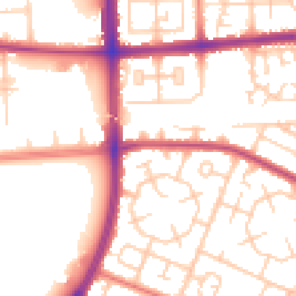
Daytime· 07:00 – 23:00
53.6dB

Night-time· 23:00 – 07:00
44.0dB