131 Mauldeth Road West, Withington, Manchester, M20 1BB
About 131 Mauldeth Road West
131 Mauldeth Road West is a semi-detached house in Withington, Manchester, Manchester (M20 1BB). It has a recorded floor area of 87 m² (around 938 sq ft), construction records dating it to 1900-1929 and council tax band A. The latest certificate (March 2011) shows a C (score 71). The latest certificate is from March 2011, so improvements made since then won't be reflected.
Everything you need to know about 131 Mauldeth Road West
The true value, the hidden risks and the full sale history, in one report.
Pick your report · every report is £14.99
One time fee only - money back guarantee

The data behind every report


Energy performance
131 Mauldeth Road West's EPC is over a decade old — improvements since won't be reflected.
EPC Expired
This certificate is over 10 years old and is no longer valid.Expired 21 Mar 2021
EPC Rating
Get a survey for this property
Level 3 Building Survey
Because the property was built before 1919, we believe a Level 3 building survey should be considered.
From £955 · Includes VAT
Planning history
131 Mauldeth Road West has no planning applications on record.
But the area is active
1 notable application nearby — larger schemes and conversions that could reshape the street. The report maps them all.
Sales history & valuation
131 Mauldeth Road West has no Land Registry sales on file, suggesting it has stayed in the same hands since registration began.
£323,000
Modelled from EPC, postcode comparables.
No sales recorded with HM Land Registry
That can mean the property has never traded since the registry began publishing in 1995, was a new build that hasn't been registered yet, or is held in the same hands long-term.
Median price across the last 5 sales in M20 1BB: £242,000 (2025–2015).
Nearby sales in M20 1BB
117 Mauldeth Road West, Withington, Manchester, M20 1BB
Sold Jan 2025
£290,000143 Mauldeth Road West, Withington, Manchester, M20 1BB
Sold Oct 2024
£280,000133 Mauldeth Road West, Withington, Manchester, M20 1BB
Sold Mar 2021
£215,000121 Mauldeth Road West, Withington, Manchester, M20 1BB
Sold Dec 2020
£242,000119 Mauldeth Road West, Withington, Manchester, M20 1BB
Sold Nov 2015
£125,000
Versus other Mauldeth Road West homes
Floor Area for 131 Mauldeth Road West lags the street by a wide margin.
EPC Rating
71 (C)
Street avg 68 (D)
Floor Area
87 m²
Street avg 91 m²
CO₂ Emissions
2.9 t/year
Street avg 3.5 t/year
Habitable Rooms
5 rooms
Street avg 5 rooms
Everything you need to know about 131 Mauldeth Road West
The true value, the hidden risks and the full sale history, in one report.
Pick your report · every report is £14.99
One time fee only - money back guarantee
The data behind every report
Similar properties nearby
The neighbourhood at a glance
Nearest stop
0.1 km
Bosley Avenue — bus stop.
Closest school
0.4 km
St Kentigern's RC Primary School, a Voluntary Academy. 55 schools nearby.
Go deeper on the local area
A Local Area report breaks down crime, transport links, schools and air quality in depth.
Road noise across the postcode
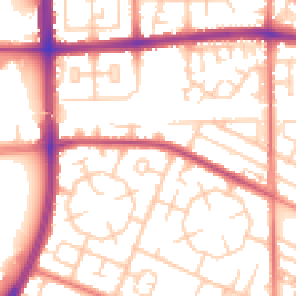
Daytime· 07:00 – 23:00
54.5dB

Night-time· 23:00 – 07:00
43.9dB