Skip to content

19 Drayton Street, Manchester, M15 5LL

Property type
End terrace
Bedrooms
3
Bathrooms
3
Floor area
99 m²
1064 sq ft
Energy rating
C
Score 73
Council tax
Band C
Tenure
Private Rental
Overview

About 19 Drayton Street

A plain-English summary derived from public records, EPC certificates, sold prices and local data.

19 Drayton Street is a three-bedroom end-of-terrace house in Manchester (M15 5LL). It has a recorded floor area of 99 m² (around 1064 sq ft), construction records dating it to 2003-2006 and council tax band C. The latest certificate (September 2009) shows a C (score 73). The latest certificate is from September 2009, so improvements made since then won't be reflected.

Held since April 2005 — that's 21 years off the open market, well above the local norm. Today's modelled estimate of £314,000 sits 68% above the 2005 sale of £186,950. At 99 m² it's 23.6% larger than the typical home in the postcode (80 m² median across 60 EPCs).

Specifications

What this property has

Pulled from EPC certificates, claim submissions and our property model. Empty categories are hidden — we only show what's known.

Inside

  • Bedrooms3
  • Bathrooms3
Before you decide

Everything you need to know about 19 Drayton Street

The true value, the hidden risks and the full sale history, in one report.

£14.99one-off

30-day money-back guarantee

Preview of the full property report

The data behind every report

  • HM Land Registry, source of sold price history
  • Department for Education, source of schools data
  • Police.uk, source of crime statistics
  • Department for Transport, source of stations and transport links
  • Environment Agency, source of flood risk data
  • Department for Environment, Food & Rural Affairs, source of road noise data
  • PlanIt, source of planning application records
Energy

Energy performance

Every EPC certificate filed against this property — current rating, recorded improvements, and where there's headroom to reach a higher band.

19 Drayton Street's EPC is over a decade old — improvements since won't be reflected.

EPC Expired

This certificate is over 10 years old and is no longer valid.Expired 27 Sept 2019

EPC Rating

A
B
C
C73
D
E
F
G
Main Heating
Gas
Main Fuel
Gas
Hot Water
Good
Windows
Good
CO2 Emissions
3.2 t/year
Occupancy
Rented
Planning

Planning history

Applications and permits filed against 19 Drayton Street, Manchester, M15 5LL, sourced from the PlanIt planning register.

19 Drayton Street has no planning applications on record.

The full report still covers planning activity across the surrounding area.

Price

Sales history & valuation

Recorded transactions, our model's current estimate, and a quick read on what neighbouring properties have sold for.

19 Drayton Street valuation sits well clear of the typical sold price in this postcode.

Current estimate

£314,000

Modelled from EPC, postcode comparables.

See how we calculated this
Last sold (2005)

£186,950

Recorded with HM Land Registry.

Sales timeline

  1. 27 April 2005Most recent

    £186,950

Median price across the last 5 sales in M15 5LL: £185,000 (2025–2022).

On the street

Versus other Drayton Street homes

Four headline reads against 34 similar houses on this street, drawn from the latest EPC and Land Registry data.

19 Drayton Street outperforms the street on habitable rooms by a wide margin.

Price per m²

£1,891

Street avg £2,185

Below

Floor Area

99 m²

Street avg 98 m²

On par

Habitable Rooms

7 rooms

Street avg 5 rooms

Strongly above

CO₂ Emissions

3.2 t/year

Street avg 2.7 t/year

Strongly below
Before you decide

Everything you need to know about 19 Drayton Street

The true value, the hidden risks and the full sale history, in one report.

£14.99one-off

30-day money-back guarantee

Preview of the full property report

The data behind every report

  • HM Land Registry, source of sold price history
  • Department for Education, source of schools data
  • Police.uk, source of crime statistics
  • Department for Transport, source of stations and transport links
  • Environment Agency, source of flood risk data
  • Department for Environment, Food & Rural Affairs, source of road noise data
  • PlanIt, source of planning application records
Area

The neighbourhood at a glance

A condensed read of the local area. Each tile links through to the full breakdown on the Manchester district page.

Crime

1/mo

Steady year-on-year across the wider district.

Nearest stop

0.1 km

Yew Street — bus stop.

Closest school

0.2 km

Loreto College. 45 schools nearby.

Go deeper on the local area

The full report breaks down crime, transport links, schools and air quality in depth.

Noise

Road noise across the postcode

Modelled day and night-time noise levels around M15 5LL from Defra's strategic mapping. The pin marks this postcode's centroid.
Daytime road noise heatmap for M15 5LL

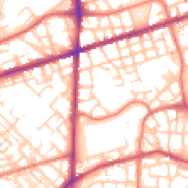
Daytime· 07:00 – 23:00

55.8dB

Moderate
Night-time road noise heatmap for M15 5LL

Night-time· 23:00 – 07:00

45.4dB

Low
55 dB
60 dB
65 dB
70 dB
75 dB
80 dB
Defra Road Noise Strategic Mapping, Round 4
FAQ

Common questions

The questions buyers, sellers and homeowners most often ask about 19 Drayton Street, Manchester, M15 5LL. Each answer is also embedded as structured data for search engines.