3 Dunham Street, Manchester, M15 5FX
About 3 Dunham Street
3 Dunham Street is a two-bedroom end-of-terrace house in Manchester (M15 5FX). It has a recorded floor area of 68 m² (around 732 sq ft), construction records dating it to 1996-2002 and council tax band B. Tenure is freehold. The property has solar panels on record, all of which lower running costs and tend to lift resale appeal. The latest certificate (October 2019) shows a C (score 71). The recommended improvements would push it to B (score 87).
Held since November 2001 — that's 25 years off the open market, well above the local norm. Across 2000–2001, sale prices on this property compounded at 23.6% per year. Today's modelled estimate of £240,000 sits 217.9% above the 2001 sale of £75,500.
What this property has
Inside
- Bedrooms2
- Bathrooms2
- StudyYes
Outside
- Private gardenYes
- ParkingYes
Building
- TenureFreehold
- Solar panelsYes
Everything you need to know about 3 Dunham Street
The true value, the hidden risks and the full sale history, in one report.
30-day money-back guarantee

The data behind every report


Energy performance
EPC Rating
Planning history
3 Dunham Street has no planning applications on record.
The full report still covers planning activity across the surrounding area.
We flagged 1 thing worth checking at 3 Dunham Street
Independent checks surfaced things a buyer would want to understand before offering. The report explains each one in full, with the underlying data and what to ask.
- Recent ownership pattern worth a look
30-day money-back guarantee
Sales history & valuation
3 Dunham Street's modelled value sits at over four times its earliest registered sale price (2000).
£240,000
Modelled from EPC, postcode comparables and a sale-price growth of 23.6% per year over 1 year.
£75,500
Growth on file: 23.6% per year over 1 year.
Sales timeline
13 November 2001Most recent
£75,500
+25.9%over 1 year12 October 2000
£59,950
Median price across the last 5 sales in M15 5FX: £142,000 (2021–2007).
Nearby sales in M15 5FX
Versus other Dunham Street homes
Price per m² for 3 Dunham Street lags the street by a wide margin.
Price per m²
£1,110
Street avg £1,970
Floor Area
68 m²
Street avg 61 m²
Habitable Rooms
5 rooms
Street avg 4 rooms
CO₂ Emissions
2.4 t/year
Street avg 2.1 t/year
Everything you need to know about 3 Dunham Street
The true value, the hidden risks and the full sale history, in one report.
30-day money-back guarantee
The data behind every report
Similar properties nearby
The neighbourhood at a glance
Crime
1/mo
Steady year-on-year across the wider district.
Nearest stop
0.1 km
Hulme Park — bus stop.
Closest school
0.1 km
Rolls Crescent Primary School. 44 schools nearby.
Go deeper on the local area
The full report breaks down crime, transport links, schools and air quality in depth.
Road noise across the postcode
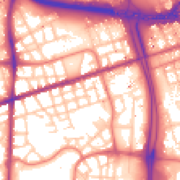
Daytime· 07:00 – 23:00
59.1dB

Night-time· 23:00 – 07:00
49.9dB