2f, Egerton Road, Manchester, M14 6XW
About 2f
2f is a semi-detached house in Manchester (M14 6XW). It has a recorded floor area of 117 m² (around 1259 sq ft). The latest certificate (August 2014) returns a B (score 84), comfortably above the UK average. The recommended improvements would push it to A (score 92). The latest certificate is from August 2014, so improvements made since then won't be reflected.
Last sold in April 2014, so it's been off the market for around 12 years. Today's modelled estimate of £339,000 is 35.6% above the 2014 sale price.
Know exactly what you're buying at 2f
Before you offer, see what the listing won't tell you, the true value, the red flags and the full history.
Already flagged here
Valuation
against the asking price
Risks
planning & flood
Sold prices
similar homes nearby
Trends
the local market
Energy performance
2f's EPC is over a decade old — improvements since won't be reflected.
EPC Expired
This certificate is over 10 years old and is no longer valid.Expired 05 Aug 2024
EPC Rating
Planning history
2f has no planning applications on record.
Notable planning nearby
118applications of note in the surrounding area
We flagged 2 things worth checking at 2f
Independent checks surfaced things a buyer would want to understand before offering. The report explains each one in full, with the underlying data and what to ask.
- Signs of HMO activity in the area
- Larger development activity nearby
30-day money-back guarantee
Sales history & valuation
£339,000
Modelled from EPC, postcode comparables.
£250,000
Recorded with HM Land Registry.
Sales timeline
23 April 2014Most recent
£250,000
Median price across the last 5 sales in M14 6XW: £318,500 (2024–2021).
Nearby sales in M14 6XW
Everything we know about 2f, in one report
What it's really worth, what could be wrong, and the planning, sales and area data in full.
What we flagged
- Signs of HMO activity in the area
- Larger development activity nearby

Versus other Egerton Road homes
2f is notably below the street on price per m².
Price per m²
£2,137
Street avg £2,646
Floor Area
117 m²
Street avg 112 m²
CO₂ Emissions
1.6 t/year
Street avg 2.9 t/year
Years Held
12 years
Street avg 5 years
Similar properties nearby
The neighbourhood at a glance
Crime
1/mo
Steady year-on-year across the wider district.
Nearest stop
0.1 km
Friendship Inn — bus stop.
Closest school
0.8 km
Mauldeth Road Primary School. 56 schools nearby.
Go deeper on the local area
The full report breaks down crime, transport links, schools and air quality in depth.
Road noise across the postcode
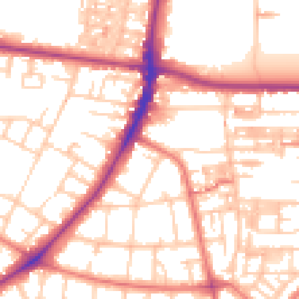
Daytime· 07:00 – 23:00
54.1dB

Night-time· 23:00 – 07:00
43.7dB