1b, Botha Close, Manchester, M11 2LH
About 1b
1b is a two-bedroom mid-terrace house in Manchester (M11 2LH). It has a recorded floor area of 72 m² (around 775 sq ft). The latest certificate (January 2018) returns a B (score 84), comfortably above the UK average. The recommended improvements would push it to A (score 97).
At 72 m² the property is well over the postcode median (47 m² across 18 EPCs), placing it in the larger end of the local stock. Its energy rating outperforms most of the postcode (better than 78% of similar EPCs). Across 2019–2019, sale prices on this property compounded at 300% per year. Today's modelled estimate of £203,000 is 43% above the 2019 sale price. Most recent transfer: June 2019 at £142,000.
Know exactly what you're buying at 1b
Before you offer, see what the listing won't tell you, the true value, the red flags and the full history.
Valuation
against the asking price
Risks
planning & flood
Sold prices
similar homes nearby
Trends
the local market
What this property has
Inside
- Bedrooms2
- Bathrooms2
- CloakroomYes
- EnsuiteYes
Outside
- Private gardenYes
- ParkingYes
Building
- RefurbishedYes
Energy performance
1b's carbon output is low for the local stock.
EPC Rating
Planning history
1b has no planning applications on record.
Notable planning nearby
1applications of note in the surrounding area
Sales history & valuation
Price for 1b has grown more than fourfold since the 2019 starting point.
£203,000
Modelled from EPC, postcode comparables and a sale-price growth of 300.0% per year over 1 year.
£142,000
Growth on file: 300.0% per year over 1 year.
Sales timeline
13 June 2019Most recent
£142,000
+300.0%13 June 2019
£35,500
Everything we know about 1b, in one report
What it's really worth, what could be wrong, and the planning, sales and area data in full.
- Am I paying too much?
- Is something wrong with it?
- Is the agent's story true?
- Will it hold its value?

Versus other Botha Close homes
On epc rating, 1b stands well clear of the street.
EPC Rating
84 (B)
Street avg 83 (B)
Floor Area
72 m²
Street avg 72 m²
CO₂ Emissions
1.1 t/year
Street avg 1.2 t/year
Similar properties nearby
The neighbourhood at a glance
Rail-style transport is unusually close for this postcode.
Nearest stop
0.1 km
Cornwall Street — bus stop.
Closest school
0.1 km
Varna Community Primary School. 52 schools nearby.
Go deeper on the local area
The full report breaks down crime, transport links, schools and air quality in depth.
Road noise across the postcode
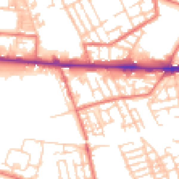
Daytime· 07:00 – 23:00
53.2dB

Night-time· 23:00 – 07:00
42.2dB