22 Barford Rise, Luton, LU2 9SG
About 22 Barford Rise
22 Barford Rise is a three-bedroom semi-detached house in Luton (LU2 9SG). It has a recorded floor area of 105 m² (around 1130 sq ft), construction records dating it to 1976-1982 and council tax band D. The latest certificate (May 2023) shows a D (score 62), on the cusp of jumping into the C band. The recommended improvements would lift it to B (score 85), a 2-band jump.
Held since April 2001 — that's 25 years off the open market, well above the local norm. Only one transfer is on record with HM Land Registry, suggesting it has stayed in the same hands for a long time. Today's modelled estimate of £405,000 sits 240.3% above the 2001 sale of £119,000. On a £-per-square-foot basis, the last sale (£105/sq ft) was about 50.9% below the postcode norm. One planning record on file: an extension approved in 2012. Past consents include an extension, meaningful when judging how the property has evolved. At 105 m² it's 16% larger than the typical home in the postcode (91 m² median across 22 EPCs).
What this property has
Inside
- Bedrooms3
- Bathrooms2
Everything you need to know about 22 Barford Rise
The true value, the hidden risks and the full sale history, in one report.
30-day money-back guarantee

The data behind every report


Energy performance
Recommended upgrades on file would lift this property by multiple EPC bands.
EPC Rating
Planning history
22 Barford Rise has an approved single-storey rear extension on the planning record.
- Jan 2012ExtensionFullIn report
Extension: Single storey · Rear of property
Erection of single storey rear extension
- Agent
- MP Architectural Design
- Reference
- 11/01257/FUL
What's in 22 Barford Rise, Luton, LU2 9SG's planning history?
Refusals, disputes and full decisions on this property and nearby, in the report.
Sales history & valuation
22 Barford Rise's estimated value is more than triple its earliest registered sale price (2001).
£405,000
Modelled from EPC, postcode comparables.
£119,000
Recorded with HM Land Registry.
Sales timeline
10 April 2001Most recent
£119,000
Median price across the last 5 sales in LU2 9SG: £370,000 (2023–2021).
Versus other Barford Rise homes
On price per m², 22 Barford Rise runs well behind the street norm.
Price per m²
£1,133
Street avg £3,042
Floor Area
105 m²
Street avg 92 m²
Habitable Rooms
4 rooms
Street avg 5 rooms
CO₂ Emissions
5.0 t/year
Street avg 3.9 t/year
Everything you need to know about 22 Barford Rise
The true value, the hidden risks and the full sale history, in one report.
30-day money-back guarantee
The data behind every report
Similar properties nearby
The neighbourhood at a glance
Daytime road noise here sits well below conversation level — a quiet pocket of the postcode.
Crime
6/mo
Steady year-on-year across the wider district.
Nearest stop
0.2 km
Polegate — bus stop.
Closest school
0.3 km
Wigmore Primary. 17 schools nearby.
Go deeper on the local area
The full report breaks down crime, transport links, schools and air quality in depth.
Road noise across the postcode
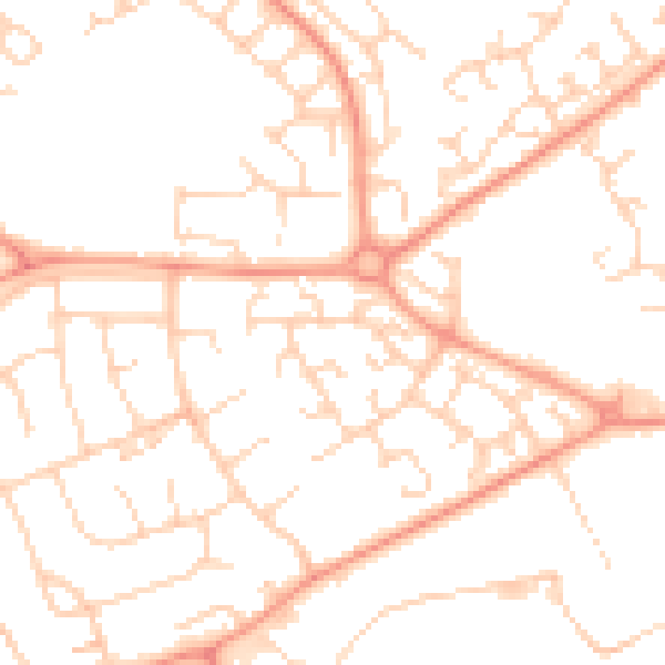
Daytime· 07:00 – 23:00
49.9dB

Night-time· 23:00 – 07:00
37.8dB