17 Barford Rise, Luton, LU2 9SG
About 17 Barford Rise
17 Barford Rise is a three-bedroom detached house in Luton (LU2 9SG). It has a recorded floor area of 101 m² (around 1087 sq ft), construction records dating it to 1976-1982 and council tax band E. Other recorded features include attached land beyond the plot. Records show the property has been extended at some point in its history. The latest certificate (April 2021) shows a C (score 69), just inside the C band. The recommended improvements would push it to B (score 83).
Today's modelled estimate of £444,000 is 26% above the 2021 sale price. On a £-per-square-foot basis, the last sale (£324/sq ft) was about 54.9% above the typical sold price in the postcode. Last sale on file: £352,500 in June 2021. That sale was during the post-pandemic price surge, when transactions cleared materially above pre-2020 trend.
What this property has
Inside
- Bedrooms3
- Bathrooms1
- Dining roomYes
- CloakroomYes
Outside
- GarageYes
- LandYes
Building
- Previously extendedYes
- RefurbishedYes
Everything you need to know about 17 Barford Rise
The true value, the hidden risks and the full sale history, in one report.
30-day money-back guarantee

The data behind every report


Energy performance
EPC Rating
Planning history
17 Barford Rise has no planning applications on record.
Notable planning nearby
1applications of note in the surrounding area
Sales history & valuation
The latest sale landed in the post-pandemic price surge — useful context when reading the figure.
£444,000
Modelled from EPC, postcode comparables.
£352,500
Recorded with HM Land Registry.
Sales timeline
27 June 2021Most recent
£352,500
Median price across the last 5 sales in LU2 9SG: £370,000 (2023–2021).
Versus other Barford Rise homes
Years Held for 17 Barford Rise lags the street by a wide margin.
Price per m²
£3,490
Street avg £2,918
Floor Area
101 m²
Street avg 92 m²
Habitable Rooms
5 rooms
Street avg 5 rooms
CO₂ Emissions
3.7 t/year
Street avg 3.9 t/year
Everything you need to know about 17 Barford Rise
The true value, the hidden risks and the full sale history, in one report.
30-day money-back guarantee
The data behind every report
Similar properties nearby
The neighbourhood at a glance
Daytime road noise here sits well below conversation level — a quiet pocket of the postcode.
Crime
6/mo
Steady year-on-year across the wider district.
Nearest stop
0.2 km
Polegate — bus stop.
Closest school
0.3 km
Wigmore Primary. 17 schools nearby.
Go deeper on the local area
The full report breaks down crime, transport links, schools and air quality in depth.
Road noise across the postcode
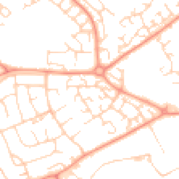
Daytime· 07:00 – 23:00
49.9dB

Night-time· 23:00 – 07:00
37.8dB