10 Barford Rise, Luton, LU2 9SG
About 10 Barford Rise
10 Barford Rise is a three-bedroom detached house in Luton (LU2 9SG). It has a recorded floor area of 100 m² (around 1076 sq ft), construction records dating it to 1983-1990 and council tax band D. The latest certificate (November 2025) shows a C (score 71). The rating has held steady at C across 2 certificates since August 2013. Between certificates, lighting went from Very Poor to Good; while window efficiency dropped from Average to Poor.
Across 1998–2014, sale prices on this property compounded at 6.6% per year. Today's modelled estimate of £435,000 sits 79.8% above the 2014 sale of £242,000. One planning record on file: an extension approved in 2004. Past consents include an extension, meaningful when judging how the property has evolved. Last changed hands 12 years ago, in January 2014.
What this property has
Inside
- Bedrooms3
- Bathrooms1
- Dining roomYes
Outside
- Private gardenRear
Building
- RefurbishedYes
Everything you need to know about 10 Barford Rise
The true value, the hidden risks and the full sale history, in one report.
30-day money-back guarantee

The data behind every report


Energy performance
EPC Rating
Property Improvements
Changes detected from historical EPC data
More low energy lighting installed
Planning history
10 Barford Rise has an approved single-storey extension on the planning record.
- Jun 2004ExtensionFullIn report
Extension: Single storey
Erection of single storey front/side and rear extensions.
- Reference
- 04/00440/FUL
What's in 10 Barford Rise, Luton, LU2 9SG's planning history?
Refusals, disputes and full decisions on this property and nearby, in the report.
Sales history & valuation
Sale price has at least doubled since 1998.
£435,000
Modelled from EPC, postcode comparables and a sale-price growth of 6.6% per year over 16 years.
£242,000
Growth on file: 6.6% per year over 16 years.
Sales timeline
10 January 2014Most recent
£242,000
-3.2%over 6 years9 August 2007
£249,995
+184.1%over 9 years23 April 1998
£88,000
Median price across the last 5 sales in LU2 9SG: £370,000 (2023–2021).
Versus other Barford Rise homes
EPC Rating for 10 Barford Rise runs comfortably ahead of the street norm.
Price per m²
£2,420
Street avg £2,975
Floor Area
100 m²
Street avg 92 m²
Habitable Rooms
5 rooms
Street avg 5 rooms
CO₂ Emissions
3.3 t/year
Street avg 3.9 t/year
Everything you need to know about 10 Barford Rise
The true value, the hidden risks and the full sale history, in one report.
30-day money-back guarantee
The data behind every report
Similar properties nearby
The neighbourhood at a glance
Daytime road noise here sits well below conversation level — a quiet pocket of the postcode.
Crime
6/mo
Steady year-on-year across the wider district.
Nearest stop
0.2 km
Polegate — bus stop.
Closest school
0.3 km
Wigmore Primary. 17 schools nearby.
Go deeper on the local area
The full report breaks down crime, transport links, schools and air quality in depth.
Road noise across the postcode
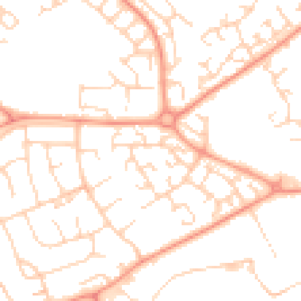
Daytime· 07:00 – 23:00
49.9dB

Night-time· 23:00 – 07:00
37.8dB