29 Burnham Road, Luton, LU2 9EP
About 29 Burnham Road
29 Burnham Road is a semi-detached house in Luton (LU2 9EP). It has a recorded floor area of 89 m² (around 958 sq ft), construction records dating it to 1930-1949 and council tax band A. The latest certificate (August 2015) shows an F (score 37), near the bottom of the EPC scale. The rating has held steady at F across 2 certificates since July 2015. The recommended improvements would lift it to B (score 83), a 4-band jump. The latest certificate is from August 2015, so improvements made since then won't be reflected.
On energy efficiency it sits in the bottom 10% of properties in this postcode — significant headroom for improvement. One planning record on file: an extension approved in 2014. Past consents include an extension, meaningful when judging how the property has evolved.
Everything you need to know about 29 Burnham Road
The true value, the hidden risks and the full sale history, in one report.
30-day money-back guarantee

The data behind every report


Energy performance
29 Burnham Road sits at the bottom of the postcode for energy efficiency — meaningful headroom to improve.
EPC Expired
This certificate is over 10 years old and is no longer valid.Expired 19 Aug 2025
EPC Rating
Planning history
29 Burnham Road has an approved single-storey rear extension on the planning record.
- Jul 2014ExtensionOutlineIn report
Extension: Single storey · Rear of property
Notification of building works - single storey rear extensionDepth - 3.6mMaximum height of extension - 3.6mHeight to eaves - 2.4m
- Reference
- 14/00218/RES
What's in 29 Burnham Road, Luton, LU2 9EP's planning history?
Refusals, disputes and full decisions on this property and nearby, in the report.
Sales history & valuation
29 Burnham Road has no Land Registry sales on file, suggesting it has stayed in the same hands since registration began.
£286,000
Modelled from EPC, postcode comparables.
No sales recorded with HM Land Registry
That can mean the property has never traded since the registry began publishing in 1995, was a new build that hasn't been registered yet, or is held in the same hands long-term.
Median price across the last 5 sales in LU2 9EP: £140,000 (2024–2007).
Versus other Burnham Road homes
29 Burnham Road is notably below the street on epc rating.
EPC Rating
37 (F)
Street avg 65 (D)
Floor Area
89 m²
Street avg 85 m²
CO₂ Emissions
7.9 t/year
Street avg 3.8 t/year
Habitable Rooms
5 rooms
Street avg 5 rooms
Everything you need to know about 29 Burnham Road
The true value, the hidden risks and the full sale history, in one report.
30-day money-back guarantee
The data behind every report
Similar properties nearby
The neighbourhood at a glance
Crime
6/mo
Steady year-on-year across the wider district.
Nearest stop
0.2 km
Ashcroft Road — bus stop.
Closest school
0.4 km
Queen Elizabeth School. 23 schools nearby.
Go deeper on the local area
The full report breaks down crime, transport links, schools and air quality in depth.
Road noise across the postcode
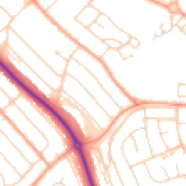
Daytime· 07:00 – 23:00
50.4dB

Night-time· 23:00 – 07:00
40.0dB