Skip to content

59 Burnham Road, Luton, LU2 9EP

Property type
Semi-detached
Bedrooms
3
Floor area
86 m²
925 sq ft
Energy rating
E
Score 47
Council tax
Band A
Tenure
Owner Occupied
Overview

About 59 Burnham Road

A plain-English summary derived from public records, EPC certificates, sold prices and local data.

59 Burnham Road is a three-bedroom semi-detached house in Luton (LU2 9EP). It has a recorded floor area of 86 m² (around 925 sq ft), construction records dating it to 1930-1949 and council tax band A. The latest certificate (August 2010) shows an E (score 47), well below the UK norm with real room to improve. The recommended improvements would push it to D (score 60). The latest certificate is from August 2010, so improvements made since then won't be reflected.

Untraded for 15 years, with the last transfer in March 2011. Today's modelled estimate of £293,000 sits 109.3% above the 2011 sale of £140,000. It lags the bulk of the postcode on energy efficiency (less efficient than 84% of similar EPCs).

Specifications

What this property has

Pulled from EPC certificates, claim submissions and our property model. Empty categories are hidden — we only show what's known.

Inside

  • Bedrooms3
Before you decide

Everything you need to know about 59 Burnham Road

The true value, the hidden risks and the full sale history, in one report.

£14.99one-off

30-day money-back guarantee

Preview of the full property report

The data behind every report

  • HM Land Registry, source of sold price history
  • Department for Education, source of schools data
  • Police.uk, source of crime statistics
  • Department for Transport, source of stations and transport links
  • Environment Agency, source of flood risk data
  • Department for Environment, Food & Rural Affairs, source of road noise data
  • PlanIt, source of planning application records
Energy

Energy performance

Every EPC certificate filed against this property — current rating, recorded improvements, and where there's headroom to reach a higher band.

59 Burnham Road's carbon output runs well above what efficient homes in the postcode produce.

EPC Expired

This certificate is over 10 years old and is no longer valid.Expired 03 Aug 2020

EPC Rating

A
B
C
D
E
E47
F
G
Main Heating
Gas
Main Fuel
Gas
Hot Water
Good
Windows
Average
CO2 Emissions
6.2 t/year
Occupancy
Owner Occupied
Planning

Planning history

Applications and permits filed against 59 Burnham Road, Luton, LU2 9EP, sourced from the PlanIt planning register.

59 Burnham Road has no planning applications on record.

Notable planning nearby

1applications of note in the surrounding area

Price

Sales history & valuation

Recorded transactions, our model's current estimate, and a quick read on what neighbouring properties have sold for.

59 Burnham Road valuation sits well clear of the typical sold price in this postcode.

Current estimate

£293,000

Modelled from EPC, postcode comparables.

See how we calculated this
Last sold (2011)

£140,000

Recorded with HM Land Registry.

Sales timeline

  1. 30 March 2011Most recent

    £140,000

Median price across the last 5 sales in LU2 9EP: £140,000 (2024–2005).

On the street

Versus other Burnham Road homes

Four headline reads against 25 similar houses on this street, drawn from the latest EPC and Land Registry data.

On habitable rooms, 59 Burnham Road runs well behind the street norm.

Price per m²

£1,629

Street avg £1,825

Above

Floor Area

86 m²

Street avg 85 m²

Strongly above

Habitable Rooms

4 rooms

Street avg 5 rooms

Strongly below

CO₂ Emissions

6.2 t/year

Street avg 3.9 t/year

Strongly below
Before you decide

Everything you need to know about 59 Burnham Road

The true value, the hidden risks and the full sale history, in one report.

£14.99one-off

30-day money-back guarantee

Preview of the full property report

The data behind every report

  • HM Land Registry, source of sold price history
  • Department for Education, source of schools data
  • Police.uk, source of crime statistics
  • Department for Transport, source of stations and transport links
  • Environment Agency, source of flood risk data
  • Department for Environment, Food & Rural Affairs, source of road noise data
  • PlanIt, source of planning application records
Area

The neighbourhood at a glance

A condensed read of the local area. Each tile links through to the full breakdown on the Luton district page.

Crime

6/mo

Steady year-on-year across the wider district.

Nearest stop

0.2 km

Ashcroft Road — bus stop.

Closest school

0.4 km

Queen Elizabeth School. 23 schools nearby.

Go deeper on the local area

The full report breaks down crime, transport links, schools and air quality in depth.

Noise

Road noise across the postcode

Modelled day and night-time noise levels around LU2 9EP from Defra's strategic mapping. The pin marks this postcode's centroid.
Daytime road noise heatmap for LU2 9EP

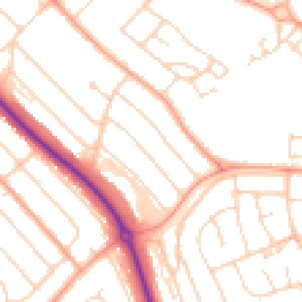
Daytime· 07:00 – 23:00

50.4dB

Low
Night-time road noise heatmap for LU2 9EP

Night-time· 23:00 – 07:00

40.0dB

Low
55 dB
60 dB
65 dB
70 dB
75 dB
80 dB
Defra Road Noise Strategic Mapping, Round 4
FAQ

Common questions

The questions buyers, sellers and homeowners most often ask about 59 Burnham Road, Luton, LU2 9EP. Each answer is also embedded as structured data for search engines.