33 Burnham Road, Luton, LU2 9EP
About 33 Burnham Road
33 Burnham Road is a three-bedroom semi-detached house in Luton (LU2 9EP). It has a recorded floor area of 81 m² (around 872 sq ft), construction records dating it to 1950-1966 and council tax band A. The latest certificate (April 2024) shows a D (score 68), on the cusp of jumping into the C band. The rating has held steady at D across 2 certificates since May 2013. Between certificates, wall efficiency went from Very Poor to Good, roof efficiency went from Average to Good and lighting went from Good to Very Good; while hot-water efficiency dropped from Good to Average. The recommended improvements would lift it to B (score 87), a 2-band jump. Other recorded features include outbuildings.
Across 2007–2024, sale prices on this property compounded at 5.4% per year. On a £-per-square-foot basis, the last sale (£378/sq ft) was about 311.8% above the typical sold price in the postcode. Last sale on file: £330,000 in August 2024.
What this property has
Inside
- Bedrooms3
- Bathrooms1
- CloakroomYes
- FireplaceYes
Outside
- Private gardenYes
- GarageYes
- OutbuildingsYes
Building
- RefurbishedYes
Everything you need to know about 33 Burnham Road
The true value, the hidden risks and the full sale history, in one report.
30-day money-back guarantee

The data behind every report


Energy performance
Recommended upgrades on file would lift this property by multiple EPC bands.
EPC Rating
Property Improvements
Changes detected from historical EPC data
Heating controls upgraded for better temperature management
Hot water system changed
Wall insulation improved
Roof insulation improved
More low energy lighting installed
Planning history
33 Burnham Road has no planning applications on record.
Notable planning nearby
1applications of note in the surrounding area
Sales history & valuation
Latest sale on 33 Burnham Road was the highest on Land Registry record across the postcode.
£348,000
Modelled from EPC, postcode comparables and a sale-price growth of 5.4% per year over 18 years.
£330,000
Growth on file: 5.4% per year over 18 years.
Sales timeline
7 August 2024Most recent
£330,000
+135.7%over 10 years15 September 2013
£140,000
+6.1%over 6 years12 January 2007
£132,000
Median price across the last 5 sales in LU2 9EP: £119,500 (2016–2004).
Versus other Burnham Road homes
On price per m², 33 Burnham Road stands well clear of the street.
Price per m²
£4,074
Street avg £1,336
Floor Area
81 m²
Street avg 85 m²
Habitable Rooms
4 rooms
Street avg 5 rooms
CO₂ Emissions
3.3 t/year
Street avg 4.0 t/year
Everything you need to know about 33 Burnham Road
The true value, the hidden risks and the full sale history, in one report.
30-day money-back guarantee
The data behind every report
Similar properties nearby
The neighbourhood at a glance
Crime
6/mo
Steady year-on-year across the wider district.
Nearest stop
0.2 km
Ashcroft Road — bus stop.
Closest school
0.4 km
Queen Elizabeth School. 23 schools nearby.
Go deeper on the local area
The full report breaks down crime, transport links, schools and air quality in depth.
Road noise across the postcode
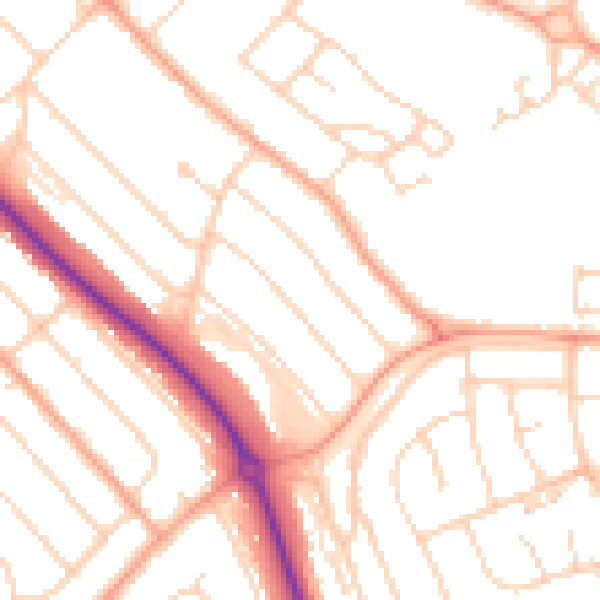
Daytime· 07:00 – 23:00
50.4dB

Night-time· 23:00 – 07:00
40.0dB