122a, Ashcroft Road, Luton, LU2 9AX
About 122a
122a is a detached house in Luton (LU2 9AX). It has a recorded floor area of 213 m² (around 2293 sq ft), construction records dating it to 1930-1949 and council tax band D. The latest certificate (February 2018) shows an E (score 39), well below the UK norm with real room to improve. When first surveyed in October 2017 the rating was F, the property has climbed 1 band since. Between certificates, lighting went from Average to Very Good. The recommended improvements would lift it to C (score 79), a 2-band jump.
At 213 m² the property is well over the postcode median (84 m² across 45 EPCs), placing it in the larger end of the local stock. It lags the bulk of the postcode on energy efficiency (less efficient than 78% of similar EPCs). 3 planning records sit against the property, 2 approved, 1 refused. Past consents include an extension, an annexe and tree works, meaningful when judging how the property has evolved.
Everything you need to know about 122a
The true value, the hidden risks and the full sale history, in one report.
30-day money-back guarantee

The data behind every report


Energy performance
122a's carbon output runs well above what efficient homes in the postcode produce.
EPC Rating
Property Improvements
Changes detected from historical EPC data
More low energy lighting installed
Planning history
- Jul 2016AnnexFullIn report
Extension: Single storey · Front of property
Erection of front single storey detached annexe extension.
Extension- Documents
- 6 docs on file
- Reference
- 16/00803/FUL
- Oct 2007Tree WorksTreesIn report
To trim one Beech Tree
- Documents
- 3 docs on file
- Reference
- 07/00526/TPOS
What's in 122a, Ashcroft Road, Luton, LU2 9AX's planning history?
1 more on this property, plus refusals, disputes and full decisions nearby, in the report.
Sales history & valuation
122a has no Land Registry sales on file, suggesting it has stayed in the same hands since registration began.
£597,000
Modelled from EPC, postcode comparables.
No sales recorded with HM Land Registry
That can mean the property has never traded since the registry began publishing in 1995, was a new build that hasn't been registered yet, or is held in the same hands long-term.
Median price across the last 5 sales in LU2 9AX: £385,000 (2025–2023).
Nearby sales in LU2 9AX
Versus other Ashcroft Road homes
122a is notably below the street on co₂ emissions.
EPC Rating
39 (E)
Street avg 61 (D)
Floor Area
213 m²
Street avg 112 m²
CO₂ Emissions
14.2 t/year
Street avg 5.3 t/year
Habitable Rooms
12 rooms
Street avg 6 rooms
Everything you need to know about 122a
The true value, the hidden risks and the full sale history, in one report.
30-day money-back guarantee
The data behind every report
Similar properties nearby
The neighbourhood at a glance
Crime
6/mo
Steady year-on-year across the wider district.
Nearest stop
0.0 km
Walnut Close — bus stop.
Closest school
0.4 km
Stopsley Community Primary School. 25 schools nearby.
Go deeper on the local area
The full report breaks down crime, transport links, schools and air quality in depth.
Road noise across the postcode
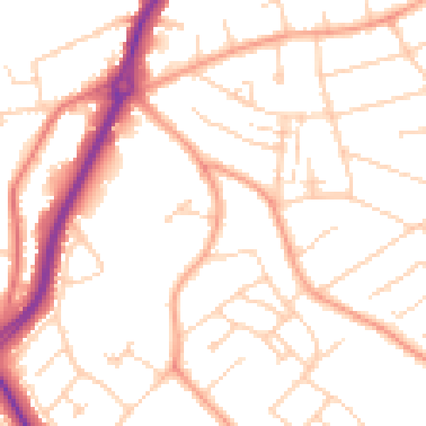
Daytime· 07:00 – 23:00
50.8dB

Night-time· 23:00 – 07:00
40.5dB