20 Berrow Close, Luton, LU2 8TH
About 20 Berrow Close
20 Berrow Close is a semi-detached house in Luton (LU2 8TH). It has a recorded floor area of 75 m² (around 807 sq ft), construction records dating it to 1976-1982 and council tax band C. The latest certificate (August 2025) shows a C (score 72). The rating has held steady at C across 2 certificates since August 2015. Between certificates, wall efficiency dropped from Good to Average and window efficiency dropped from Average to Poor.
At 75 m² the property is well over the postcode median (55 m² across 19 EPCs), placing it in the larger end of the local stock. Across 1996–2022, sale prices on this property compounded at 6.7% per year. On a £-per-square-foot basis, the last sale (£396/sq ft) was about 93.5% above the typical sold price in the postcode. Sold September 2022 for £320,000. That sale was during the post-pandemic price surge, when transactions cleared materially above pre-2020 trend.
Everything you need to know about 20 Berrow Close
The true value, the hidden risks and the full sale history, in one report.
30-day money-back guarantee

The data behind every report


Energy performance
EPC Rating
Property Improvements
Changes detected from historical EPC data
Solar PV panels (40 kWp) installed
Planning history
20 Berrow Close has no planning applications on record.
The full report still covers planning activity across the surrounding area.
Sales history & valuation
Price for 20 Berrow Close has grown more than fourfold since the 1996 starting point.
£327,000
Modelled from EPC, postcode comparables and a sale-price growth of 6.7% per year over 26 years.
£320,000
Growth on file: 6.7% per year over 26 years.
Sales timeline
2 September 2022Most recent
£320,000
+66.7%over 15 years19 February 2007
£192,000
+69.9%over 5 years19 November 2001
£113,000
+91.5%over 5 years18 July 1996
£59,000
Median price across the last 5 sales in LU2 8TH: £270,000 (2023–2020).
Versus other Berrow Close homes
20 Berrow Close outperforms the street on habitable rooms by a wide margin.
Price per m²
£4,267
Street avg £2,839
Floor Area
75 m²
Street avg 57 m²
Habitable Rooms
5 rooms
Street avg 3 rooms
CO₂ Emissions
2.8 t/year
Street avg 3.0 t/year
Everything you need to know about 20 Berrow Close
The true value, the hidden risks and the full sale history, in one report.
30-day money-back guarantee
The data behind every report
Similar properties nearby
The neighbourhood at a glance
Daytime road noise here sits well below conversation level — a quiet pocket of the postcode.
Crime
6/mo
Steady year-on-year across the wider district.
Nearest stop
0.1 km
Rushall Green — bus stop.
Closest school
0.2 km
Wigmore Primary. 15 schools nearby.
Go deeper on the local area
The full report breaks down crime, transport links, schools and air quality in depth.
Road noise across the postcode
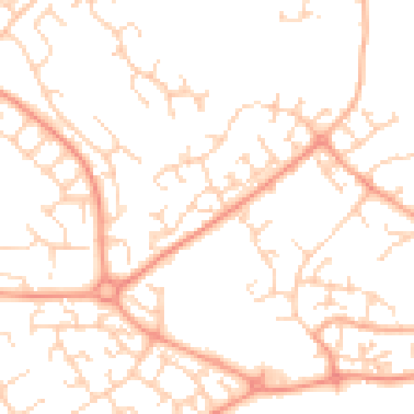
Daytime· 07:00 – 23:00
49.7dB

Night-time· 23:00 – 07:00
38.2dB