5 Moorland Road, Leeds, LS6 1AL
About 5 Moorland Road
5 Moorland Road is a property in Leeds (LS6 1AL).
Across 1995–2020, sale prices on this property compounded at 7.7% per year. Sold March 2020 for £801,000.
Know exactly what you're buying at 5 Moorland Road
Before you offer, see what the listing won't tell you, the true value, the red flags and the full history.
Already flagged here
Valuation
against the asking price
Risks
planning & flood
Sold prices
similar homes nearby
Trends
the local market
Energy performance
No EPC on record
This property doesn't have an Energy Performance Certificate yet. An EPC is required to sell or let — and unlocks our automated valuation.
Planning history
5 Moorland Road has no planning applications on record.
Notable planning nearby
247applications of note in the surrounding area
We flagged 1 thing worth checking at 5 Moorland Road
Independent checks surfaced things a buyer would want to understand before offering. The report explains each one in full, with the underlying data and what to ask.
- Signs of HMO activity in the area
30-day money-back guarantee
Sales history & valuation
Latest sale on 5 Moorland Road was the highest on Land Registry record across the postcode.
£801,000
Growth on file: 7.7% per year over 25 years.
Sales timeline
24 March 2020Most recent
£801,000
+78.0%over 9 years26 August 2010
£450,000
+260.0%over 15 years8 March 1995
£125,000
Median price across the last 5 sales in LS6 1AL: £70,000 (2024–2017).
Nearby sales in LS6 1AL
Flat 11, 16 Moorland Road, Leeds, LS6 1AL
Sold Mar 2024
£99,000Flat 10, 16 Moorland Road, Leeds, LS6 1AL
Sold Sept 2022
£70,000Flat 14, 16 Moorland Road, Leeds, LS6 1AL
Sold Mar 2019
£74,000Flat 13, 16 Moorland Road, Leeds, LS6 1AL
Sold Nov 2017
£60,000Flat 3, 16 Moorland Road, Leeds, LS6 1AL
Sold May 2017
£70,000
Everything we know about 5 Moorland Road, in one report
What it's really worth, what could be wrong, and the planning, sales and area data in full.
What we flagged
- Signs of HMO activity in the area

Similar properties nearby
The neighbourhood at a glance
Rail-style transport is unusually close for this postcode.
Crime
5/mo
Steady year-on-year across the wider district.
Nearest stop
0.1 km
Hyde Park Road — bus stop.
Closest school
0.7 km
Brudenell Primary School. 44 schools nearby.
Go deeper on the local area
The full report breaks down crime, transport links, schools and air quality in depth.
Road noise across the postcode
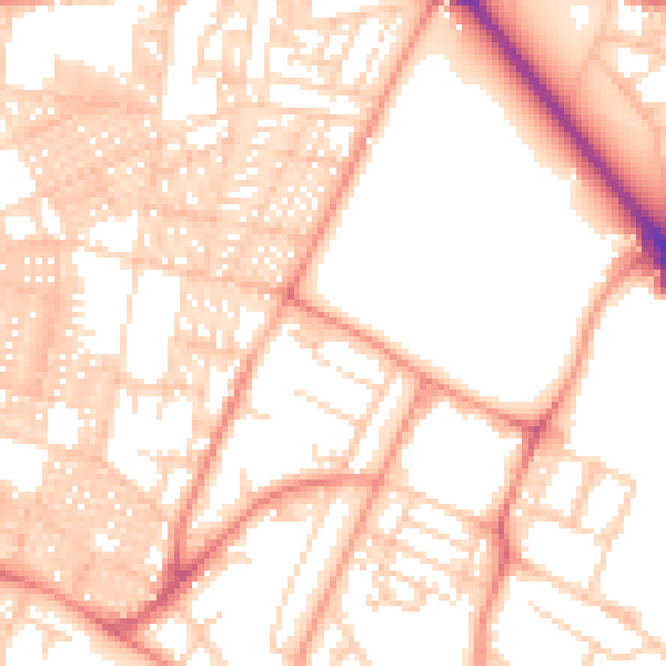
Daytime· 07:00 – 23:00
54.2dB

Night-time· 23:00 – 07:00
41.3dB