17a, High Street, South Milford, Leeds, LS25 5AA
About 17a
17a is a detached house in South Milford, Leeds, Leeds (LS25 5AA). It has a recorded floor area of 142 m² (around 1528 sq ft), construction records dating it to 1983-1990 and council tax band E. The latest certificate (February 2013) shows a D (score 64), on the cusp of jumping into the C band. The recommended improvements would lift it to B (score 81), a 2-band jump. The latest certificate is from February 2013, so improvements made since then won't be reflected.
At 142 m² the property is well over the postcode median (90 m² across 24 EPCs), placing it in the larger end of the local stock. Across 1999–2018, sale prices on this property compounded at -6.7% per year. Today's modelled estimate of £437,000 sits 1356.7% above the 2018 sale of £30,000. On a £-per-square-foot basis, the last sale (£20/sq ft) was about 88.1% below the postcode norm. Last changed hands 8 years ago, in February 2018. Across the public record there are 5 sales, relatively high churn for a single property. One historical planning record sits against the property in 2020.
Know exactly what you're buying at 17a
Before you offer, see what the listing won't tell you, the true value, the red flags and the full history.
Already flagged here
Valuation
against the asking price
Risks
planning & flood
Sold prices
similar homes nearby
Trends
the local market
Energy performance
Recommended upgrades on file would lift this property by multiple EPC bands.
EPC Expired
This certificate is over 10 years old and is no longer valid.Expired 08 Feb 2023
EPC Rating
Planning history
- Sept 2020FullIn report
Increase in height of existing walls and replace the monopitch roof with a new dual pitch roof to provide new first floor office space and conversion of ground floor workshop to storage area including new windows and provision of parking space
- Agent
- Plan-Pro-UK Limited
- Documents
- 26 docs on file
- Reference
- 2020/0634/FUL
We flagged 1 thing worth checking at 17a
Independent checks surfaced things a buyer would want to understand before offering. The report explains each one in full, with the underlying data and what to ask.
- Larger development activity nearby
30-day money-back guarantee
Sales history & valuation
Latest sale on 17a was the lowest on Land Registry record across the postcode.
£437,000
Modelled from EPC, postcode comparables and a sale-price growth of -6.7% per year over 19 years.
£30,000
Growth on file: -6.7% per year over 19 years.
Sales timeline
27 February 2018Most recent
£30,000
-90.8%over 3 years12 December 2014
£325,000
+2.4%over 12 months23 December 2013
£317,500
+38.0%over 10 years3 July 2003
£230,000
+109.1%over 3 years22 July 1999
£110,000
Median price across the last 5 sales in LS25 5AA: £242,000 (2025–2023).
Nearby sales in LS25 5AA
23 High Street, South Milford, Leeds, LS25 5AA
Sold Mar 2025
£175,000The Old Chapel, Wesley Cottage, High Street, South Milford, Leeds, LS25 5AA
Sold Jun 2023
£242,000The Old Chapel, High Street, South Milford, Leeds, LS25 5AA
Sold May 2023
£249,000The Old Chapel, Heavenly Cottage, High Street, South Milford, Leeds, LS25 5AA
Sold Apr 2023
£245,000The Old Chapel, Choir Cottage, High Street, South Milford, Leeds, LS25 5AA
Sold Feb 2023
£225,000
Everything we know about 17a, in one report
What it's really worth, what could be wrong, and the planning, sales and area data in full.
What we flagged
- Larger development activity nearby

Versus other High Street homes
17a is notably below the street on price per m².
Price per m²
£211
Street avg £2,028
Floor Area
142 m²
Street avg 89 m²
Habitable Rooms
7 rooms
Street avg 5 rooms
CO₂ Emissions
5.6 t/year
Street avg 4.2 t/year
Similar properties nearby
1 Bedfords Fold, Hillam
LS25 5HZ
1 Field View, South Milford
LS25 5GH
1 Brambles Court, Hillam
LS25 5GA
1 Cresta Close, South Milford
LS25 5AE
1 Abbeystone Gardens, Monk Fryston
LS25 5FS
1 Harvesters Way, South Milford
LS25 5GB
1 Fryston View, South Milford
LS25 5FD
1 Black Lane, South Milford
LS25 5FL
The neighbourhood at a glance
Rail-style transport is unusually close for this postcode.
Crime
6/mo
Steady year-on-year across the wider district.
Nearest stop
0.1 km
White Swan — bus stop.
Closest school
0.4 km
South Milford Primary School. 5 schools nearby.
Go deeper on the local area
The full report breaks down crime, transport links, schools and air quality in depth.
Road noise across the postcode
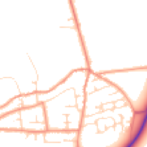
Daytime· 07:00 – 23:00
49.1dB

Night-time· 23:00 – 07:00
39.8dB