6 Fulton Place, Leeds, LS16 5RS
About 6 Fulton Place
6 Fulton Place is a five-bedroom detached house in Leeds (LS16 5RS). It has a recorded floor area of 272 m² (around 2928 sq ft), construction records dating it to 1996-2002 and council tax band G. The latest certificate (April 2025) shows a C (score 77), near the top of the C band. The recommended improvements would push it to B (score 81). Other recorded features include attached land beyond the plot. Records show the property has been extended at some point in its history. The home occupies a cul-de-sac position.
Held since March 2002 — that's 24 years off the open market, well above the local norm. Today's modelled estimate of £931,000 sits 88.1% above the 2002 sale of £495,000. At 272 m² it's 28% larger than the typical home in the postcode (213 m² median across 6 EPCs).
What this property has
Inside
- Bedrooms5
- Bathrooms3
- CloakroomYes
- EnsuiteYes
Outside
- Private gardenSouth-facing
- GarageDouble
- LandYes
- Cul-de-sacYes
Building
- Previously extendedYes
- RefurbishedYes
Everything you need to know about 6 Fulton Place
The true value, the hidden risks and the full sale history, in one report.
30-day money-back guarantee

The data behind every report


Energy performance
6 Fulton Place's carbon output runs well above what efficient homes in the postcode produce.
EPC Rating
Planning history
6 Fulton Place has no planning applications on record.
Notable planning nearby
4applications of note in the surrounding area
We flagged 1 thing worth checking at 6 Fulton Place
Independent checks surfaced things a buyer would want to understand before offering. The report explains each one in full, with the underlying data and what to ask.
- Signs of HMO activity in the area
30-day money-back guarantee
Sales history & valuation
6 Fulton Place valuation sits well clear of the typical sold price in this postcode.
£931,000
Modelled from EPC, postcode comparables.
£495,000
Recorded with HM Land Registry.
Sales timeline
1 March 2002Most recent
£495,000
Median price across the last 5 sales in LS16 5RS: £550,000 (2018–2005).
Versus other Fulton Place homes
On years held, 6 Fulton Place stands well clear of the street.
Price per m²
£1,820
Street avg £2,390
Floor Area
272 m²
Street avg 204 m²
Habitable Rooms
9 rooms
Street avg 8 rooms
CO₂ Emissions
7.0 t/year
Street avg 6.3 t/year
Everything you need to know about 6 Fulton Place
The true value, the hidden risks and the full sale history, in one report.
30-day money-back guarantee
The data behind every report
Similar properties nearby
The neighbourhood at a glance
Reported crime in the wider district is trending notably upward year-on-year.
Crime
5/mo
Rising year-on-year across the wider district.
Nearest stop
0.1 km
Ancaster Road — bus stop.
Closest school
0.5 km
Weetwood Primary School. 30 schools nearby.
Go deeper on the local area
The full report breaks down crime, transport links, schools and air quality in depth.
Road noise across the postcode
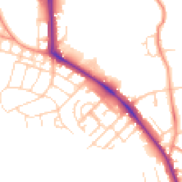
Daytime· 07:00 – 23:00
50.3dB

Night-time· 23:00 – 07:00
40.3dB