4 Fulton Place, Leeds, LS16 5RS
About 4 Fulton Place
4 Fulton Place is a five-bedroom detached house in Leeds (LS16 5RS). It has a recorded floor area of 243 m² (around 2616 sq ft), construction records dating it to 1996-2002 and council tax band G. The latest certificate (April 2013) shows a C (score 70). The latest certificate is from April 2013, so improvements made since then won't be reflected.
Across 2002–2015, sale prices on this property compounded at 2.4% per year. Today's modelled estimate of £741,000 is 17.6% above the 2015 sale price. On a £-per-square-foot basis, the last sale (£241/sq ft) was about 26.9% above the typical sold price in the postcode. Last changed hands 11 years ago, in November 2015.
What this property has
Inside
- Bedrooms5
- Dining roomYes
- Utility roomYes
- CloakroomYes
- EnsuiteYes
Outside
- Private gardenYes
- GarageDouble
Everything you need to know about 4 Fulton Place
The true value, the hidden risks and the full sale history, in one report.
30-day money-back guarantee

The data behind every report


Energy performance
4 Fulton Place's carbon output runs well above what efficient homes in the postcode produce.
EPC Expired
This certificate is over 10 years old and is no longer valid.Expired 22 Apr 2023
EPC Rating
Planning history
4 Fulton Place has no planning applications on record.
Notable planning nearby
4applications of note in the surrounding area
We flagged 1 thing worth checking at 4 Fulton Place
Independent checks surfaced things a buyer would want to understand before offering. The report explains each one in full, with the underlying data and what to ask.
- Signs of HMO activity in the area
30-day money-back guarantee
Sales history & valuation
Latest sale on 4 Fulton Place was the highest on Land Registry record across the postcode.
£741,000
Modelled from EPC, postcode comparables and a sale-price growth of 2.4% per year over 13 years.
£630,000
Growth on file: 2.4% per year over 13 years.
Sales timeline
27 November 2015Most recent
£630,000
+38.5%over 13 years30 May 2002
£455,000
Median price across the last 5 sales in LS16 5RS: £527,500 (2018–2003).
Versus other Fulton Place homes
On co₂ emissions, 4 Fulton Place runs well behind the street norm.
Price per m²
£2,593
Street avg £2,261
Floor Area
243 m²
Street avg 209 m²
Habitable Rooms
9 rooms
Street avg 8 rooms
CO₂ Emissions
7.5 t/year
Street avg 6.2 t/year
Everything you need to know about 4 Fulton Place
The true value, the hidden risks and the full sale history, in one report.
30-day money-back guarantee
The data behind every report
Similar properties nearby
The neighbourhood at a glance
Reported crime in the wider district is trending notably upward year-on-year.
Crime
5/mo
Rising year-on-year across the wider district.
Nearest stop
0.1 km
Ancaster Road — bus stop.
Closest school
0.5 km
Weetwood Primary School. 30 schools nearby.
Go deeper on the local area
The full report breaks down crime, transport links, schools and air quality in depth.
Road noise across the postcode
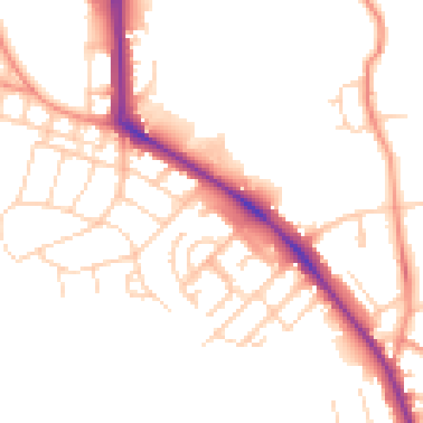
Daytime· 07:00 – 23:00
50.3dB

Night-time· 23:00 – 07:00
40.3dB