129 Monks Road, Lincoln, LN2 5JH
About 129 Monks Road
129 Monks Road is a mid-terrace house in Lincoln (LN2 5JH). It has a recorded floor area of 146 m² (around 1572 sq ft), construction records dating it to 1900-1929 and council tax band A. The latest certificate (May 2024) shows a C (score 78), near the top of the C band. When first surveyed in November 2008 the rating was D, the property has climbed 1 band since. Between certificates, wall efficiency went from Very Poor to Good, roof efficiency went from Good to Very Good and window efficiency went from Average to Good. The recommended improvements would push it to B (score 86).
At 146 m² the property is well over the postcode median (39 m² across 15 EPCs), placing it in the larger end of the local stock. 2 planning records sit against the property, 2 approved, 0 refused. Past consents include HMO conversion, meaningful when judging how the property has evolved. Across 1995–2023, sale prices on this property compounded at 5.6% per year. On a £-per-square-foot basis, the last sale (£104/sq ft) was about 41.8% above the typical sold price in the postcode. Sold July 2023 for £164,000.
Everything you need to know about 129 Monks Road
The true value, the hidden risks and the full sale history, in one report.
Pick your report · every report is £14.99
One time fee only - money back guarantee

The data behind every report


Energy performance
EPC Rating
Property Improvements
Changes detected from historical EPC data
Heating controls upgraded for better temperature management
Window efficiency improved
Wall insulation improved
Loft insulation upgraded to recommended levels
More low energy lighting installed
Get a survey for this property
Level 3 Building Survey
Because the property was built before 1919, has been extended more than once, and has solid (non-cavity) walls, we believe a Level 3 building survey should be considered.
From £820 · Includes VAT
Planning history
2 applications on record at 129 Monks Road, Lincoln, LN2 5JH
- Aug 2000HMOFullOutcome in report
Change of use from shared house to a house in multiple occupation.
- Reference
- 2000/0369/F
- More recent applications — locked
- HMOJun 2023Decision
Unlock 129 Monks Road, Lincoln, LN2 5JH's full planning history
You're seeing the shape of it. The report has the substance.
- Every decision — granted, refused or withdrawn (2 on record)
- All 2 applications on this property in full, plus 63 notable nearby
- The 1 documents, officer reports & conditions
- What the pattern means for extending or converting here
One time fee only - money back guarantee
Sales history & valuation
Price for 129 Monks Road has grown more than fourfold since the 1995 starting point.
£168,000
Modelled from EPC, postcode comparables and a sale-price growth of 5.6% per year over 28 years.
£164,000
Growth on file: 5.6% per year over 28 years.
Sales timeline
16 July 2023Most recent
£164,000
+5.8%over 6 years13 January 2017
£155,000
+55.0%over 10 months24 March 2016
£100,000
+181.7%over 20 years31 May 1995
£35,500
Median price across the last 5 sales in LN2 5JH: £170,000 (2022–2016).
Versus other Monks Road homes
Years Held for 129 Monks Road lags the street by a wide margin.
Price per m²
£1,123
Street avg £1,175
Floor Area
146 m²
Street avg 145 m²
Habitable Rooms
7 rooms
Street avg 7 rooms
CO₂ Emissions
3.6 t/year
Street avg 5.7 t/year
Everything you need to know about 129 Monks Road
The true value, the hidden risks and the full sale history, in one report.
Pick your report · every report is £14.99
One time fee only - money back guarantee
The data behind every report
Similar properties nearby
The neighbourhood at a glance
Crime
3/mo
Steady year-on-year across the wider district.
Nearest stop
0.1 km
Cheviot Street — bus stop.
Closest school
0.3 km
Lincoln College. 18 schools nearby.
Go deeper on the local area
A Local Area report breaks down crime, transport links, schools and air quality in depth.
Road noise across the postcode
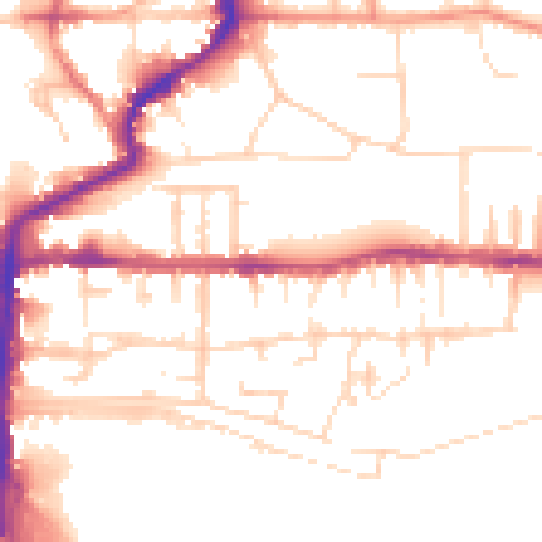
Daytime· 07:00 – 23:00
52.2dB
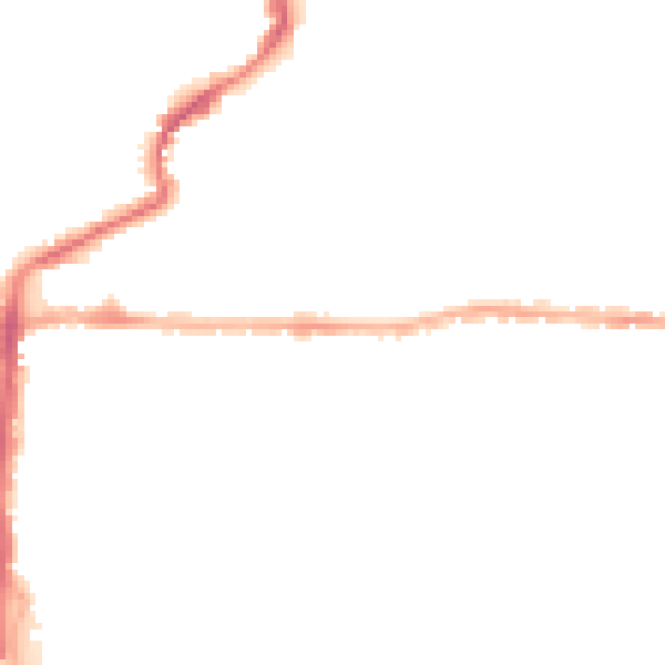
Night-time· 23:00 – 07:00
41.5dB