22 Bullingham Road, Lincoln, LN2 4RW
About 22 Bullingham Road
22 Bullingham Road is a two-bedroom detached house in Lincoln (LN2 4RW). It has a recorded floor area of 61 m² (around 657 sq ft), construction records dating it to 1983-1990 and council tax band B. The latest certificate (October 2016) shows a D (score 62), on the cusp of jumping into the C band. The rating has held steady at D across 2 certificates since July 2014. The recommended improvements would lift it to B (score 83), a 2-band jump. Other recorded features include a conservatory. Our model identifies extension potential, subject to local planning policy. The home occupies a cul-de-sac position.
Across 1998–2014, sale prices on this property compounded at 6.7% per year. Today's modelled estimate of £214,000 sits 51.8% above the 2014 sale of £141,000. On a £-per-square-foot basis, the last sale (£215/sq ft) was about 33.8% above the typical sold price in the postcode. At 61 m² it sits well below the postcode median (106 m² across 17 EPCs), making it one of the more compact homes locally. On the market in November 2014 and unlisted since — roughly 12 years.
What this property has
Inside
- Bedrooms2
- Bathrooms1
- Dining roomYes
- ConservatoryYes
- FireplaceYes
Outside
- Private gardenRear
- GarageYes
- Cul-de-sacYes
Building
- Central heatingYes
- RefurbishedYes
- Extension potentialPossible
Everything you need to know about 22 Bullingham Road
The true value, the hidden risks and the full sale history, in one report.
Pick your report · every report is £14.99
One time fee only - money back guarantee

The data behind every report


Energy performance
Recommended upgrades on file would lift this property by multiple EPC bands.
EPC Rating
Get a survey for this property
Level 2 HomeBuyer Report
We've checked 10 risk factors against the available data for this property and believe a Level 2 HomeBuyer Report could be a suitable option for you.
From £545 · Includes VAT
Planning history
22 Bullingham Road has no planning applications on record.
But the area is active
6 notable applications nearby — larger schemes and conversions that could reshape the street. The report maps them all.
Sales history & valuation
22 Bullingham Road has more than doubled in price since the earliest registered sale in 1998.
£214,000
Modelled from EPC, postcode comparables and a sale-price growth of 6.7% per year over 16 years.
£141,000
Growth on file: 6.7% per year over 16 years.
Sales timeline
14 November 2014Most recent
£141,000
+69.9%over 12 years31 July 2002
£83,000
+66.0%over 3 years29 October 1998
£50,000
Median price across the last 5 sales in LN2 4RW: £235,000 (2025–2016).
Nearby sales in LN2 4RW
Versus other Bullingham Road homes
On floor area, 22 Bullingham Road runs well behind the street norm.
Price per m²
£2,311
Street avg £1,946
Floor Area
61 m²
Street avg 103 m²
Habitable Rooms
4 rooms
Street avg 6 rooms
CO₂ Emissions
3.1 t/year
Street avg 4.5 t/year
Everything you need to know about 22 Bullingham Road
The true value, the hidden risks and the full sale history, in one report.
Pick your report · every report is £14.99
One time fee only - money back guarantee
The data behind every report
Similar properties nearby
The neighbourhood at a glance
Crime
3/mo
Steady year-on-year across the wider district.
Nearest stop
0.1 km
Remigius Grove — bus stop.
Closest school
0.6 km
St Giles Academy. 15 schools nearby.
Go deeper on the local area
A Local Area report breaks down crime, transport links, schools and air quality in depth.
Road noise across the postcode
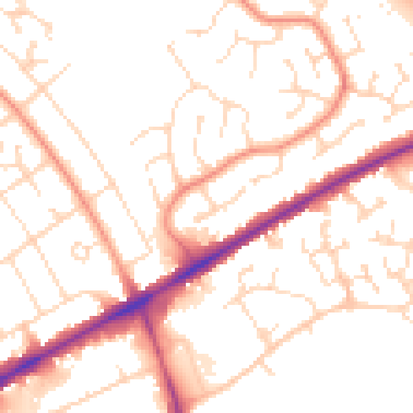
Daytime· 07:00 – 23:00
51.7dB

Night-time· 23:00 – 07:00
40.7dB