4 The Ropery, Lincoln, LN1 1EL
About 4 The Ropery
4 The Ropery is a four-bedroom mid-terrace house in Lincoln (LN1 1EL). It has a recorded floor area of 190 m² (around 2045 sq ft), construction records dating it to 1996-2002 and council tax band D. The latest certificate (October 2012) shows a C (score 76), near the top of the C band. The recommended improvements would push it to B (score 84). The latest certificate is from October 2012, so improvements made since then won't be reflected. Other recorded features include notable views. Period features are noted in the property record.
At 190 m² the property is well over the postcode median (131 m² across 11 EPCs), placing it in the larger end of the local stock. 3 planning records sit against the property, 0 approved, 0 refused. Today's modelled estimate of £452,000 is 14.4% above the 2019 sale price. Sold June 2019 for £395,000.
Know exactly what you're buying at 4 The Ropery
Before you offer, see what the listing won't tell you, the true value, the red flags and the full history.
Already flagged here
Valuation
against the asking price
Risks
planning & flood
Sold prices
similar homes nearby
Trends
the local market
What this property has
Inside
- Bedrooms4
- Bathrooms2
- Open-plan layoutYes
- EnsuiteYes
- StudyYes
Outside
- ParkingAllocated
- Notable viewsYes
Building
- ConciergeYes
- Period featuresYes
- RefurbishedYes
Energy performance
4 The Ropery's EPC is over a decade old — improvements since won't be reflected.
EPC Expired
This certificate is over 10 years old and is no longer valid.Expired 04 Oct 2022
EPC Rating
Planning history
- Aug 2020Tree WorksTreesIn report
T1 (London Plane) - Reduce the height of the canopy by 2 metres to attain a height of 13 metres and reduce canopy spread by 2 metres to attain an average canopy spread of approximately 4 metres. T2 (London Plane) - Reduce the height of the canopy by 2 meters to attain a height of 13 metres and reduce canopy spread by 2 meters to attain an average canopy spread of approximately 3 metres. T3 (Willow) - Reduce the height of the canopy by 2 meters to attain a height of 12 metres.
- Agent
- Mr Adam Scott
- Documents
- 5 docs on file
- Reference
- 2020/0445/TCO
- Mar 2017TreesIn report
T1 - London Plane - Reduce crown by 3 metres in height and on highway side and 2 metres on property side and crown thin by 10% to attain a height of 14 metres and crown spread of 8.5 metres.T2 - London Plane - Reduce crown by 3 metres in height and on highway side and 2 metres on property side and crown thin by 10% to attain a height of 14 metres and crown spread of 8.5 metres.T3 - Willow - Reduce crown by 2 metres, crown thin by 10% and remove a suppressed limb to attain a height of 13 metres and crown spread of 9 metres.
- Documents
- 2 docs on file
- Reference
- 2017/0090/TCO
We flagged 1 thing worth checking at 4 The Ropery
Independent checks surfaced things a buyer would want to understand before offering. The report explains each one in full, with the underlying data and what to ask.
- Signs of HMO activity in the area
30-day money-back guarantee
Sales history & valuation
4 The Ropery's sale-price growth has lagged the wider UK trajectory across its history on file.
£452,000
Modelled from EPC, postcode comparables and a sale-price growth of -0.4% per year over 16 years.
£395,000
Growth on file: -0.4% per year over 16 years.
Sales timeline
20 June 2019Most recent
£395,000
-2.5%over 5 years28 August 2013
£405,000
-3.9%over 9 years5 November 2003
£421,500
Median price across the last 5 sales in LN1 1EL: £375,000 (2025–2021).
Everything we know about 4 The Ropery, in one report
What it's really worth, what could be wrong, and the planning, sales and area data in full.
What we flagged
- Signs of HMO activity in the area

Versus other The Ropery homes
4 The Ropery outperforms the street on floor area by a wide margin.
Price per m²
£2,079
Street avg £2,452
Floor Area
190 m²
Street avg 129 m²
Habitable Rooms
5 rooms
Street avg 5 rooms
CO₂ Emissions
4.5 t/year
Street avg 3.6 t/year
Similar properties nearby
1 Berilldon Drive
LN1 1AN
1 Bendigo Close
LN1 1AF
1 Aldermans Walk
LN1 1LU
1 Albion Close
LN1 1ED
1 Chapel House, Hampton Street
LN1 1NE
1 Benbow Way
LN1 1AS
1 Allison Street
LN1 1PX
1 Bedford Street
LN1 1NA
The neighbourhood at a glance
Crime
2/mo
Steady year-on-year across the wider district.
Nearest stop
0.2 km
Age UK — bus stop.
Closest school
0.4 km
Lincoln UTC. 18 schools nearby.
Go deeper on the local area
The full report breaks down crime, transport links, schools and air quality in depth.
Road noise across the postcode
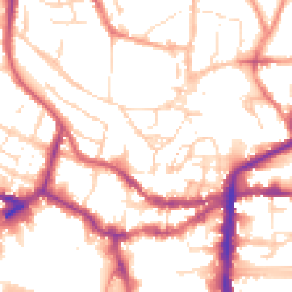
Daytime· 07:00 – 23:00
53.5dB

Night-time· 23:00 – 07:00
42.9dB