65 Church Lane, Anstey, Leicester, LE7 7AF
About 65 Church Lane
65 Church Lane is a two-bedroom end-of-terrace house in Anstey, Leicester, Leicester (LE7 7AF). It has a recorded floor area of 73 m² (around 786 sq ft), construction records dating it to 1900-1929 and council tax band B. It is a listed building, which means external alterations are tightly controlled but it may qualify for heritage tax reliefs. Period features are noted in the property record. The latest certificate (July 2014) shows an E (score 45), well below the UK norm with real room to improve. The recommended improvements would lift it to C (score 80), a 2-band jump. The latest certificate is from July 2014, so improvements made since then won't be reflected.
Sold November 2020 for £185,000. Across the public record there are 4 sales, relatively high churn for a single property. At 73 m² it's 28.1% larger than the typical home in the postcode (57 m² median across 37 EPCs). It lags the bulk of the postcode on energy efficiency (less efficient than 89% of similar EPCs). Across 2003–2020, sale prices on this property compounded at 4.6% per year. Today's modelled estimate of £226,000 is 22.2% above the 2020 sale price. On a £-per-square-foot basis, the last sale (£235/sq ft) was about 61.8% above the typical sold price in the postcode.
Know exactly what you're buying at 65 Church Lane
Before you offer, see what the listing won't tell you, the true value, the red flags and the full history.
Already flagged here
Valuation
against the asking price
Risks
planning & flood
Sold prices
similar homes nearby
Trends
the local market
What this property has
Inside
- Bedrooms2
- Bathrooms1
Outside
- Private gardenYes
Building
- Listed buildingYes
- Heating systemGas
- Period featuresYes
Energy performance
Recommended upgrades on file would lift this property by multiple EPC bands.
EPC Expired
This certificate is over 10 years old and is no longer valid.Expired 30 Jul 2024
EPC Rating
Planning history
65 Church Lane has no planning applications on record.
Notable planning nearby
5applications of note in the surrounding area
We flagged 1 thing worth checking at 65 Church Lane
Independent checks surfaced things a buyer would want to understand before offering. The report explains each one in full, with the underlying data and what to ask.
- Larger development activity nearby
30-day money-back guarantee
Sales history & valuation
65 Church Lane has more than doubled in price since the earliest registered sale in 2003.
£226,000
Modelled from EPC, postcode comparables and a sale-price growth of 4.6% per year over 17 years.
£185,000
Growth on file: 4.6% per year over 17 years.
Sales timeline
27 November 2020Most recent
£185,000
+36.0%over 6 years9 October 2014
£136,000
+8.8%over 8 years21 September 2006
£124,950
+46.6%over 3 years18 September 2003
£85,250
Median price across the last 5 sales in LE7 7AF: £162,500 (2022–2018).
Nearby sales in LE7 7AF
49 Church Lane, Anstey, Leicester, LE7 7AF
Sold Oct 2022
£205,50069 Church Lane, Anstey, Leicester, LE7 7AF
Sold Oct 2021
£185,00051 Church Lane, Anstey, Leicester, LE7 7AF
Sold Jun 2020
£162,50067 Church Lane, Anstey, Leicester, LE7 7AF
Sold Jul 2018
£140,00016 Church Lane, Anstey, Leicester, LE7 7AF
Sold May 2018
£184,000
Everything we know about 65 Church Lane, in one report
What it's really worth, what could be wrong, and the planning, sales and area data in full.
What we flagged
- Larger development activity nearby

Versus other Church Lane homes
On price per m², 65 Church Lane stands well clear of the street.
Price per m²
£2,534
Street avg £1,978
Floor Area
73 m²
Street avg 83 m²
Habitable Rooms
4 rooms
Street avg 4 rooms
CO₂ Emissions
5.3 t/year
Street avg 4.2 t/year
Similar properties nearby
1 Burrow Drive, Rothley
LE7 7RZ
1 Badgers Bank, Rothley
LE7 7PH
1 Broughton Close, Anstey
LE7 7EU
1 Breech Hedge, Rothley
LE7 7RN
1 Bates Hollow, Rothley
LE7 7RT
1 Birkdale Road, Anstey
LE7 7DF
1 Brownhill Crescent, Rothley
LE7 7LA
1 Alvis Dale, Rothley
LE7 7QH
The neighbourhood at a glance
Crime
2/mo
Steady year-on-year across the wider district.
Nearest stop
0.1 km
Paper Mill Close — bus stop.
Closest school
0.2 km
The Latimer Primary School. 15 schools nearby.
Go deeper on the local area
The full report breaks down crime, transport links, schools and air quality in depth.
Road noise across the postcode
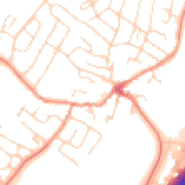
Daytime· 07:00 – 23:00
51.3dB

Night-time· 23:00 – 07:00
41.5dB