10 The Ringway, Queniborough, Leicester, LE7 3DL
About 10 The Ringway
10 The Ringway is a three-bedroom semi-detached house in Queniborough, Leicester, Leicester (LE7 3DL). It has a recorded floor area of 79 m² (around 850 sq ft), construction records dating it to 1930-1949 and council tax band C. The latest certificate (May 2020) shows a C (score 69), just inside the C band. The recommended improvements would push it to B (score 84). Our model identifies extension potential, subject to local planning policy. The home occupies a cul-de-sac position.
Its energy rating outperforms most of the postcode (better than 86% of similar EPCs). Across 2002–2020, sale prices on this property compounded at 4.8% per year. Today's modelled estimate of £298,000 is 29.6% above the 2020 sale price. On a £-per-square-foot basis, the last sale (£270/sq ft) was about 35.9% above the typical sold price in the postcode. Most recent transfer: September 2020 at £230,000.
What this property has
Inside
- Bedrooms3
- Bathrooms1
Outside
- GarageDetached
- Cul-de-sacYes
Building
- RefurbishedYes
- Extension potentialPossible
Everything you need to know about 10 The Ringway
The true value, the hidden risks and the full sale history, in one report.
30-day money-back guarantee

The data behind every report


Energy performance
EPC Rating
Planning history
10 The Ringway has no planning applications on record.
The full report still covers planning activity across the surrounding area.
Sales history & valuation
10 The Ringway has more than doubled in price since the earliest registered sale in 2002.
£298,000
Modelled from EPC, postcode comparables and a sale-price growth of 4.8% per year over 18 years.
£230,000
Growth on file: 4.8% per year over 18 years.
Sales timeline
17 September 2020Most recent
£230,000
+56.5%over 17 years20 March 2003
£147,000
+50.8%over 9 months24 June 2002
£97,500
Median price across the last 5 sales in LE7 3DL: £325,000 (2023–2022).
Nearby sales in LE7 3DL
24 The Ringway, Queniborough, Leicester, LE7 3DL
Sold Aug 2023
£310,00018 The Ringway, Queniborough, Leicester, LE7 3DL
Sold Apr 2023
£280,00084 The Ringway, Queniborough, Leicester, LE7 3DL
Sold Jan 2023
£435,000108 The Ringway, Queniborough, Leicester, LE7 3DL
Sold Sept 2022
£325,00082 The Ringway, Queniborough, Leicester, LE7 3DL
Sold Jul 2022
£390,000
Versus other The Ringway homes
On epc rating, 10 The Ringway stands well clear of the street.
Price per m²
£2,911
Street avg £2,799
Floor Area
79 m²
Street avg 86 m²
Habitable Rooms
5 rooms
Street avg 5 rooms
CO₂ Emissions
3.0 t/year
Street avg 4.3 t/year
Everything you need to know about 10 The Ringway
The true value, the hidden risks and the full sale history, in one report.
30-day money-back guarantee
The data behind every report
Similar properties nearby
1 Chestnut Close, Queniborough
LE7 3DW
1 Ervin Way, Queniborough
LE7 3TT
1 Campion Avenue, Queniborough
LE7 3GD
1 Daisy Close, Queniborough
LE7 3AD
1 Chapel Close, Queniborough
LE7 3AE
1 Chestnut Way, East Goscote
LE7 3QQ
1 Avenue Close, Queniborough
LE7 3DS
1 Bluebell Close, Queniborough
LE7 3UY
The neighbourhood at a glance
Crime
2/mo
Steady year-on-year across the wider district.
Nearest stop
0.2 km
Primrose Way — bus stop.
Closest school
0.2 km
Queniborough Church of England Primary School. 6 schools nearby.
Go deeper on the local area
The full report breaks down crime, transport links, schools and air quality in depth.
Road noise across the postcode
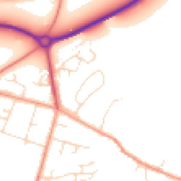
Daytime· 07:00 – 23:00
50.7dB

Night-time· 23:00 – 07:00
41.5dB