Flat 1, 6 Salisbury Road, Leicester, LE1 7QR
About Flat 1
Flat 1 is a semi-detached house in Leicester (LE1 7QR). It has a recorded floor area of 64 m² (around 689 sq ft), construction records dating it to 2024 and council tax band G. At 64 m² this is the 4th smallest of 6 units on EPC record in the building, where floor areas span 36–95 m². On EPC score it ranks first in the building (80 versus a worst of 71). The latest certificate (August 2024) shows a C (score 80), near the top of the C band.
Today's modelled estimate of £381,000 is 81.9% below the 2019 sale of £2,100,000, an unusual pattern given regional price growth and worth checking against the EPC condition. On a £-per-square-foot basis, the last sale (£3,048/sq ft) was about 1198.2% above the typical sold price in the postcode. Last sale on file: £2,100,000 in July 2019.
Everything you need to know about Flat 1
The true value, the hidden risks and the full sale history, in one report.
Pick your report · every report is £14.99
One time fee only - money back guarantee

The data behind every report


Energy performance
Flat 1's carbon output is low for the local stock.
EPC Rating
Get a survey for this property
Snagging Report
Because the property was built within the last two years, we believe a snagging report is more appropriate for this property than a home survey.
Planning history
Flat 1 has no planning applications on record.
But the area is active
1 notable application nearby — larger schemes and conversions that could reshape the street. The report maps them all.
Sales history & valuation
Latest sale on Flat 1 was the highest on Land Registry record across the postcode.
£381,000
Modelled from EPC, postcode comparables.
£2,100,000
Recorded with HM Land Registry.
Sales timeline
30 July 2019Most recent
£2,100,000
Median price across the last 5 sales in LE1 7QR: £560,000 (2023–2019).
Nearby sales in LE1 7QR
2b, Salisbury Road, Leicester, LE1 7QR
Sold Apr 2023
£690,0002a, Apartment 2, Salisbury Road, Leicester, LE1 7QR
Sold Jan 2023
£230,00012 Salisbury Road, Leicester, LE1 7QR
Sold Jun 2022
£560,000Flat 1, 4 Salisbury Road, Leicester, LE1 7QR
Sold Jan 2022
£456,0001 Salisbury Road, Leicester, LE1 7QR
Sold Jul 2019
£700,000
Versus other Salisbury Road homes
Flat 1 outperforms the street on price per m² by a wide margin.
Price per m²
£32,813
Street avg £7,288
Floor Area
64 m²
Street avg 61 m²
CO₂ Emissions
1.3 t/year
Street avg 2.0 t/year
Years Held
7 years
Street avg 11 years
Everything you need to know about Flat 1
The true value, the hidden risks and the full sale history, in one report.
Pick your report · every report is £14.99
One time fee only - money back guarantee
The data behind every report
Similar properties nearby
The neighbourhood at a glance
Rail-style transport is unusually close for this postcode.
Crime
13/mo
Rising year-on-year across the wider district.
Nearest stop
0.2 km
Adventist Church — bus stop.
Closest school
0.5 km
Medway Community Primary School. 49 schools nearby.
Go deeper on the local area
A Local Area report breaks down crime, transport links, schools and air quality in depth.
Road noise across the postcode
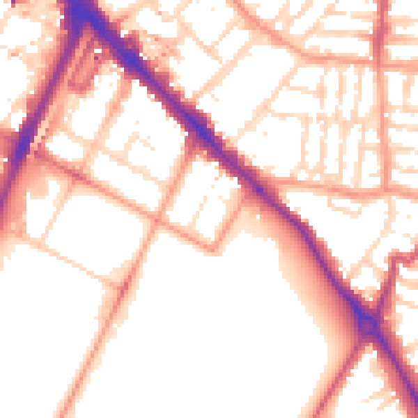
Daytime· 07:00 – 23:00
53.9dB

Night-time· 23:00 – 07:00
43.8dB