16c, Newtown Street, Leicester, LE1 6WJ
About 16c
16c is a mid-terrace house in Leicester (LE1 6WJ). It has a recorded floor area of 25 m² (around 269 sq ft) and construction records dating it to 1900-1929. At 25 m² this is the smallest unit on EPC record across the building (25–206 m²). The building's EPC ratings span E to A, with this unit at the bottom. The latest certificate (February 2021) shows an E (score 53), well below the UK norm with real room to improve. Earlier certificates rated it D (June 2009); the latest reading is one band lower. Between certificates, wall efficiency went from Very Poor to Poor, window efficiency went from Very Poor to Poor and lighting went from Very Poor to Very Good. The recommended improvements would lift it to C (score 75), a 2-band jump.
At 25 m² it sits well below the postcode median (53 m² across 33 EPCs), making it one of the more compact homes locally. It lags the bulk of the postcode on energy efficiency (less efficient than 82% of similar EPCs).
Everything you need to know about 16c
The true value, the hidden risks and the full sale history, in one report.
Pick your report · every report is £14.99
One time fee only - money back guarantee

The data behind every report


Energy performance
Recommended upgrades on file would lift this property by multiple EPC bands.
EPC Rating
Property Improvements
Changes detected from historical EPC data
Single glazing replaced with double or better glazing
More low energy lighting installed
Wall insulation improved
Get a survey for this property
Level 3 Building Survey
Because the property was built before 1919 and has solid (non-cavity) walls, we believe a Level 3 building survey should be considered.
From £820 · Includes VAT
Planning history
16c has no planning applications on record.
But the area is active
4 notable applications nearby — larger schemes and conversions that could reshape the street. The report maps them all.
Sales history & valuation
16c has no Land Registry sales on file, suggesting it has stayed in the same hands since registration began.
£141,000
Modelled from EPC, postcode comparables.
No sales recorded with HM Land Registry
That can mean the property has never traded since the registry began publishing in 1995, was a new build that hasn't been registered yet, or is held in the same hands long-term.
Median price across the last 5 sales in LE1 6WJ: £232,500 (2025–2017).
Nearby sales in LE1 6WJ
Versus other Newtown Street homes
16c is notably below the street on epc rating.
EPC Rating
53 (E)
Street avg 70 (C)
Floor Area
25 m²
Street avg 45 m²
CO₂ Emissions
2.6 t/year
Street avg 1.8 t/year
Habitable Rooms
1 rooms
Street avg 2 rooms
Everything you need to know about 16c
The true value, the hidden risks and the full sale history, in one report.
Pick your report · every report is £14.99
One time fee only - money back guarantee
The data behind every report
Similar properties nearby
The neighbourhood at a glance
Rail-style transport is unusually close for this postcode.
Crime
13/mo
Rising year-on-year across the wider district.
Nearest stop
0.2 km
Tower Street — bus stop.
Closest school
0.4 km
Beauchamp City Sixth Form. 51 schools nearby.
Go deeper on the local area
A Local Area report breaks down crime, transport links, schools and air quality in depth.
Road noise across the postcode
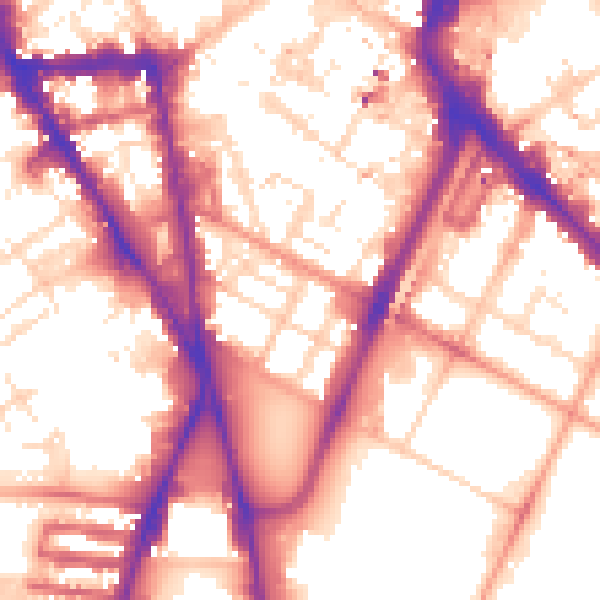
Daytime· 07:00 – 23:00
57.0dB

Night-time· 23:00 – 07:00
47.8dB