32 Bechers Row, Liverpool, L9 8EX
About 32 Bechers Row
32 Bechers Row is a two-bedroom property in Liverpool (L9 8EX). It has council tax band C.
2 planning records sit against the property, 1 approved, 1 refused. Past consents include an extension, meaningful when judging how the property has evolved. Across 1999–2023, sale prices on this property compounded at 1.5% per year. Sold October 2023 for £83,000.
Know exactly what you're buying at 32 Bechers Row
Before you offer, see what the listing won't tell you, the true value, the red flags and the full history.
Valuation
against the asking price
Risks
planning & flood
Sold prices
similar homes nearby
Trends
the local market
What this property has
Inside
- Bedrooms2
- Bathrooms2
- Open-plan layoutYes
- Dining roomYes
- EnsuiteYes
Outside
- Private gardenYes
- ParkingOff street
Building
- RefurbishedYes
Energy performance
No EPC on record
This property doesn't have an Energy Performance Certificate yet. An EPC is required to sell or let — and unlocks our automated valuation.
Planning history
Multiple extension applications run across more than a decade of planning history at 32 Bechers Row.
- Mar 2023ExtensionFullIn report
Extension: Rear of property
To erect dormer extension to rear.
- Documents
- 3 docs on file
- Reference
- 23H/0884
- Mar 2013ExtensionFullIn report
Extension: Single storey · Rear of property
To erect single storey extension to the rear - application should have been for bregs - remove off system - remove off system
- Documents
- 1 doc on file
- Reference
- PL/INV/0295/13
What's in 32 Bechers Row, Liverpool, L9 8EX's planning history?
Refusals, disputes and full decisions on this property and nearby, in the report.
Sales history & valuation
£83,000
Growth on file: 1.5% per year over 24 years.
Sales timeline
17 October 2023Most recent
£83,000
+45.6%over 24 years20 April 1999
£57,000
Median price across the last 5 sales in L9 8EX: £160,000 (2024–2019).
Everything we know about 32 Bechers Row, in one report
What it's really worth, what could be wrong, and the planning, sales and area data in full.
- Am I paying too much?
- Is something wrong with it?
- Is the agent's story true?
- Will it hold its value?

Similar properties nearby
The neighbourhood at a glance
Rail-style transport is unusually close for this postcode.
Crime
33/mo
Steady year-on-year across the wider district.
Nearest stop
0.1 km
Bull Lane — bus stop.
Closest school
0.7 km
Longmoor Community Primary School. 46 schools nearby.
Go deeper on the local area
The full report breaks down crime, transport links, schools and air quality in depth.
Road noise across the postcode
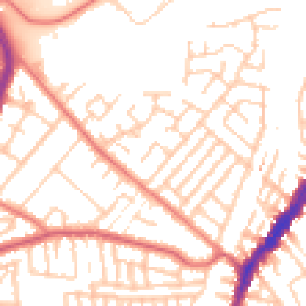
Daytime· 07:00 – 23:00
52.0dB

Night-time· 23:00 – 07:00
41.3dB