22 Lilford Avenue, Liverpool, L9 3AT
About 22 Lilford Avenue
22 Lilford Avenue is a three-bedroom end-of-terrace house in Liverpool (L9 3AT). It has a recorded floor area of 89 m² (around 958 sq ft), construction records dating it to 1930-1949 and council tax band A. The latest certificate (September 2019) shows a D (score 60), on the cusp of jumping into the C band. The recommended improvements would lift it to B (score 84), a 2-band jump. Our model identifies extension potential, subject to local planning policy.
Untraded for 19 years, with the last transfer in August 2007. That sale landed at the peak of the pre-credit-crunch market, which is a useful reference point when interpreting the price. Today's modelled estimate of £141,000 is 33% above the 2007 sale price. On a £-per-square-foot basis, the last sale (£111/sq ft) was about 35.9% above the typical sold price in the postcode.
Know exactly what you're buying at 22 Lilford Avenue
Before you offer, see what the listing won't tell you, the true value, the red flags and the full history.
Valuation
against the asking price
Risks
planning & flood
Sold prices
similar homes nearby
Trends
the local market
What this property has
Inside
- Bedrooms3
Outside
- GarageYes
Building
- Extension potentialPossible
Energy performance
Recommended upgrades on file would lift this property by multiple EPC bands.
EPC Rating
Planning history
22 Lilford Avenue has no planning applications on record.
Notable planning nearby
1applications of note in the surrounding area
Sales history & valuation
The latest sale landed at the peak of the pre-credit-crunch market — a high-water reference point.
£141,000
Modelled from EPC, postcode comparables.
£106,000
Recorded with HM Land Registry.
Sales timeline
1 August 2007Most recent
£106,000
Median price across the last 5 sales in L9 3AT: £136,500 (2025–2023).
Nearby sales in L9 3AT
Everything we know about 22 Lilford Avenue, in one report
What it's really worth, what could be wrong, and the planning, sales and area data in full.
- Am I paying too much?
- Is something wrong with it?
- Is the agent's story true?
- Will it hold its value?

Versus other Lilford Avenue homes
22 Lilford Avenue outperforms the street on years held by a wide margin.
Price per m²
£1,191
Street avg £1,158
Floor Area
89 m²
Street avg 89 m²
Habitable Rooms
4 rooms
Street avg 5 rooms
CO₂ Emissions
4.5 t/year
Street avg 3.9 t/year
Similar properties nearby
The neighbourhood at a glance
Rail-style transport is unusually close for this postcode.
Crime
33/mo
Steady year-on-year across the wider district.
Nearest stop
0.1 km
Burwen Drive — bus stop.
Closest school
0.4 km
Rice Lane Primary School and Nursery. 45 schools nearby.
Go deeper on the local area
The full report breaks down crime, transport links, schools and air quality in depth.
Road noise across the postcode
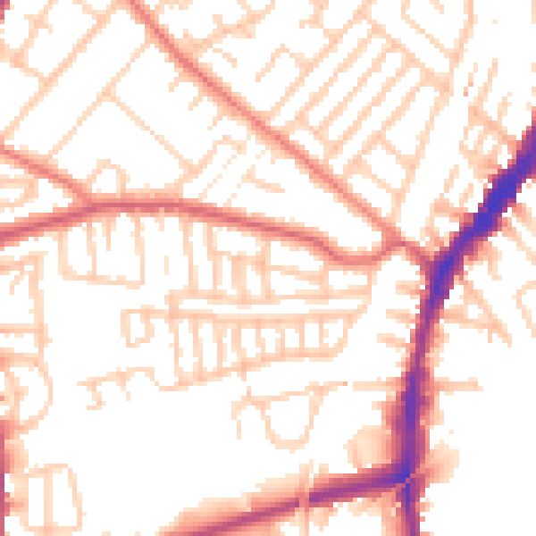
Daytime· 07:00 – 23:00
52.6dB

Night-time· 23:00 – 07:00
42.3dB