1 Devonfield Road, Liverpool, L9 3BG
About 1 Devonfield Road
1 Devonfield Road is a two-bedroom end-of-terrace house in Liverpool (L9 3BG). It has a recorded floor area of 60 m² (around 646 sq ft), construction records dating it to 1983-1990 and council tax band B. At 60 m² this is the smallest unit on EPC record across the building (60–122 m²). The building's EPC ratings span E to C across 20 units on file. Our model identifies extension potential, subject to local planning policy. The latest certificate (August 2015) shows a D (score 60), on the cusp of jumping into the C band. The recommended improvements would push it to C (score 76). Main heating runs on electricity. The latest certificate is from August 2015, so improvements made since then won't be reflected.
It hasn't traded since September 2000, a hold of 26 years that's notably long for the area. Only one transfer is on record with HM Land Registry, suggesting it has stayed in the same hands for a long time. Today's modelled estimate of £116,000 sits 176.2% above the 2000 sale of £42,000. On a £-per-square-foot basis, the last sale (£65/sq ft) was about 25.9% below the postcode norm. At 60 m² it sits well below the postcode median (100 m² across 19 EPCs), making it one of the more compact homes locally.
Know exactly what you're buying at 1 Devonfield Road
Before you offer, see what the listing won't tell you, the true value, the red flags and the full history.
Valuation
against the asking price
Risks
planning & flood
Sold prices
similar homes nearby
Trends
the local market
What this property has
Inside
- Bedrooms2
Building
- RefurbishedYes
- Extension potentialPossible
Energy performance
EPC Expired
This certificate is over 10 years old and is no longer valid.Expired 25 Aug 2025
EPC Rating
Planning history
1 Devonfield Road has no planning applications on record.
Notable planning nearby
1applications of note in the surrounding area
Sales history & valuation
1 Devonfield Road valuation sits well clear of the typical sold price in this postcode.
£116,000
Modelled from EPC, postcode comparables.
£42,000
Recorded with HM Land Registry.
Sales timeline
14 September 2000Most recent
£42,000
Median price across the last 5 sales in L9 3BG: £103,000 (2024–2019).
Nearby sales in L9 3BG
Everything we know about 1 Devonfield Road, in one report
What it's really worth, what could be wrong, and the planning, sales and area data in full.
- Am I paying too much?
- Is something wrong with it?
- Is the agent's story true?
- Will it hold its value?

Similar properties nearby
The neighbourhood at a glance
Rail-style transport is unusually close for this postcode.
Crime
33/mo
Steady year-on-year across the wider district.
Nearest stop
0.2 km
Orrell Park Station — bus stop.
Closest school
0.3 km
Rice Lane Primary School and Nursery. 45 schools nearby.
Go deeper on the local area
The full report breaks down crime, transport links, schools and air quality in depth.
Road noise across the postcode
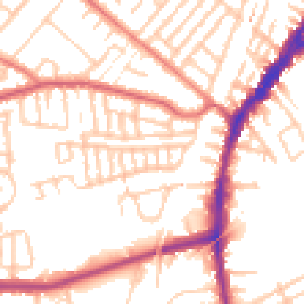
Daytime· 07:00 – 23:00
52.8dB
Night-time· 23:00 – 07:00
42.9dB