2 Lilford Avenue, Liverpool, L9 3AT
About 2 Lilford Avenue
2 Lilford Avenue is a mid-terrace house in Liverpool (L9 3AT). It has a recorded floor area of 80 m² (around 861 sq ft), construction records dating it to 1900-1929 and council tax band A. The latest certificate (March 2026) shows a C (score 70). When first surveyed in May 2014 the rating was E, the property has climbed 2 bands since. Between certificates, roof efficiency went from Very Poor to Good and lighting went from Very Poor to Good; while window efficiency dropped from Good to Average and hot-water efficiency dropped from Very Good to Good. The recommended improvements would push it to B (score 82). This certificate was lodged in the last six months, so the rating reflects current condition.
Its energy rating outperforms most of the postcode (better than 75% of similar EPCs). Today's modelled estimate of £148,000 is 41% above the 2024 sale price. On a £-per-square-foot basis, the last sale (£122/sq ft) was about 49.8% above the typical sold price in the postcode. Sold February 2024 for £105,000.
Know exactly what you're buying at 2 Lilford Avenue
Before you offer, see what the listing won't tell you, the true value, the red flags and the full history.
Valuation
against the asking price
Risks
planning & flood
Sold prices
similar homes nearby
Trends
the local market
Energy performance
The EPC has just been inspected, so the rating reflects current condition.
EPC Rating
Property Improvements
Changes detected from historical EPC data
Hot water efficiency decreased
Roof insulation improved
Hot water efficiency improved
Roof insulation improved
More low energy lighting installed
Hot water efficiency decreased
More low energy lighting installed
Planning history
2 Lilford Avenue has no planning applications on record.
Notable planning nearby
1applications of note in the surrounding area
Sales history & valuation
2 Lilford Avenue valuation sits well clear of the typical sold price in this postcode.
£148,000
Modelled from EPC, postcode comparables.
£105,000
Recorded with HM Land Registry.
Sales timeline
16 February 2024Most recent
£105,000
Median price across the last 5 sales in L9 3AT: £136,500 (2025–2021).
Nearby sales in L9 3AT
Everything we know about 2 Lilford Avenue, in one report
What it's really worth, what could be wrong, and the planning, sales and area data in full.
- Am I paying too much?
- Is something wrong with it?
- Is the agent's story true?
- Will it hold its value?

Versus other Lilford Avenue homes
Floor Area for 2 Lilford Avenue lags the street by a wide margin.
Price per m²
£1,313
Street avg £1,152
Floor Area
80 m²
Street avg 89 m²
Habitable Rooms
4 rooms
Street avg 5 rooms
CO₂ Emissions
2.7 t/year
Street avg 4.0 t/year
Similar properties nearby
The neighbourhood at a glance
Rail-style transport is unusually close for this postcode.
Crime
33/mo
Steady year-on-year across the wider district.
Nearest stop
0.1 km
Burwen Drive — bus stop.
Closest school
0.4 km
Rice Lane Primary School and Nursery. 45 schools nearby.
Go deeper on the local area
The full report breaks down crime, transport links, schools and air quality in depth.
Road noise across the postcode
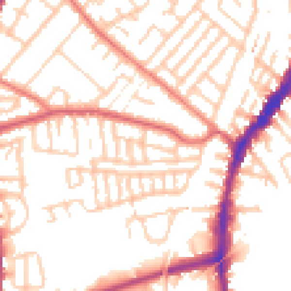
Daytime· 07:00 – 23:00
52.6dB

Night-time· 23:00 – 07:00
42.3dB