24 Egerton Road, Liverpool, L15 2HW
About 24 Egerton Road
24 Egerton Road is a four-bedroom mid-terrace house in Liverpool (L15 2HW). It has a recorded floor area of 93 m² (around 1001 sq ft), construction records dating it to 1900-1929 and council tax band A. Tenure is freehold. The latest certificate (December 2018) shows a D (score 63), on the cusp of jumping into the C band. The recommended improvements would push it to C (score 80).
Most recent transfer was June 2025 at £120,000 — fresh data. Across 1995–2025, sale prices on this property compounded at 4.5% per year. Today's modelled estimate of £158,000 is 31.7% above the 2025 sale price. On a £-per-square-foot basis, the last sale (£120/sq ft) was about 58.9% above the typical sold price in the postcode. At 93 m² it's 23.8% smaller than the typical home in the postcode (122 m² median across 29 EPCs).
Know exactly what you're buying at 24 Egerton Road
Before you offer, see what the listing won't tell you, the true value, the red flags and the full history.
Already flagged here
Valuation
against the asking price
Risks
planning & flood
Sold prices
similar homes nearby
Trends
the local market
What this property has
Inside
- Bedrooms4
- Bathrooms1
- EnsuiteYes
Building
- TenureFreehold
Energy performance
EPC Rating
Planning history
24 Egerton Road has no planning applications on record.
Notable planning nearby
65applications of note in the surrounding area
We flagged 1 thing worth checking at 24 Egerton Road
Independent checks surfaced things a buyer would want to understand before offering. The report explains each one in full, with the underlying data and what to ask.
- Signs of HMO activity in the area
30-day money-back guarantee
Sales history & valuation
24 Egerton Road has more than tripled in price since its earliest registered sale in 1995.
£158,000
Modelled from EPC, postcode comparables and a sale-price growth of 4.5% per year over 30 years.
£120,000
Growth on file: 4.5% per year over 30 years.
Sales timeline
11 June 2025Most recent
£120,000
+14.3%over 16 years7 October 2008
£105,000
+228.1%over 13 years20 July 1995
£32,000
Median price across the last 5 sales in L15 2HW: £208,000 (2025–2022).
Nearby sales in L15 2HW
Everything we know about 24 Egerton Road, in one report
What it's really worth, what could be wrong, and the planning, sales and area data in full.
What we flagged
- Signs of HMO activity in the area

Versus other Egerton Road homes
On years held, 24 Egerton Road runs well behind the street norm.
Price per m²
£1,290
Street avg £1,027
Floor Area
93 m²
Street avg 123 m²
Habitable Rooms
6 rooms
Street avg 7 rooms
CO₂ Emissions
4.2 t/year
Street avg 4.6 t/year
Similar properties nearby
102 Cranborne Road
L15 2HZ
10 Langton Road, Wavertree
L15 2HT
100 Woodcroft Road
L15 2HQ
10 Cranborne Road
L15 2HX
1 Dorset Avenue
L15 2JA
10 Childwall Avenue
L15 2JB
1 Alderson Road
L15 2HL
1 Portman Road
L15 2HH
The neighbourhood at a glance
Reported crime in the wider district is trending notably upward year-on-year.
Crime
6/mo
Rising year-on-year across the wider district.
Nearest stop
0.2 km
Portman Road — bus stop.
Closest school
0.2 km
Lawrence Community Primary School. 59 schools nearby.
Go deeper on the local area
The full report breaks down crime, transport links, schools and air quality in depth.
Road noise across the postcode
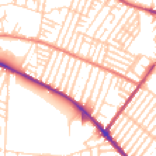
Daytime· 07:00 – 23:00
53.2dB

Night-time· 23:00 – 07:00
42.3dB