20 Willoughby Road, Broadgreen, Liverpool, L14 6XB
About 20 Willoughby Road
20 Willoughby Road is a property in Broadgreen, Liverpool, Liverpool (L14 6XB). It has council tax band A.
Last sold in February 2018, so it's been off the market for around 8 years. Across the public record there are 4 sales, relatively high churn for a single property. Across 2001–2018, sale prices on this property compounded at 11.6% per year.
Everything you need to know about 20 Willoughby Road
The true value, the hidden risks and the full sale history, in one report.
Pick your report · every report is £14.99
One time fee only - money back guarantee

The data behind every report


Energy performance
No EPC on record
This property doesn't have an Energy Performance Certificate yet. An EPC is required to sell or let — and unlocks our automated valuation.
Get a survey for this property
Level 2 HomeBuyer Report
We've checked 10 risk factors against the available data for this property and believe a Level 2 HomeBuyer Report could be a suitable option for you.
Planning history
20 Willoughby Road has no planning applications on record.
A planning report still maps activity across the surrounding area and reads this property's extension & conversion potential.
Sales history & valuation
20 Willoughby Road has more than quadrupled in price since its earliest registered sale in 2001.
£115,000
Growth on file: 11.6% per year over 17 years.
Sales timeline
16 February 2018Most recent
£115,000
+150.0%over 16 years30 August 2001
£46,000
+31.1%19 April 2001
£35,100
+95.0%11 April 2001
£18,000
Median price across the last 5 sales in L14 6XB: £131,000 (2023–2011).
Nearby sales in L14 6XB
32 Willoughby Road, Broadgreen, Liverpool, L14 6XB
Sold Feb 2023
£153,5008 Willoughby Road, Broadgreen, Liverpool, L14 6XB
Sold Sept 2022
£192,44028 Willoughby Road, Broadgreen, Liverpool, L14 6XB
Sold Jan 2015
£80,00016 Willoughby Road, Broadgreen, Liverpool, L14 6XB
Sold Jun 2013
£131,00018 Willoughby Road, Broadgreen, Liverpool, L14 6XB
Sold Apr 2011
£88,000
Everything you need to know about 20 Willoughby Road
The true value, the hidden risks and the full sale history, in one report.
Pick your report · every report is £14.99
One time fee only - money back guarantee
The data behind every report
Similar properties nearby
The neighbourhood at a glance
Reported crime in the wider district is trending notably upward year-on-year.
Crime
6/mo
Rising year-on-year across the wider district.
Nearest stop
0.3 km
Ashfield Way — bus stop.
Closest school
0.1 km
Malvern Primary School. 46 schools nearby.
Go deeper on the local area
A Local Area report breaks down crime, transport links, schools and air quality in depth.
Road noise across the postcode
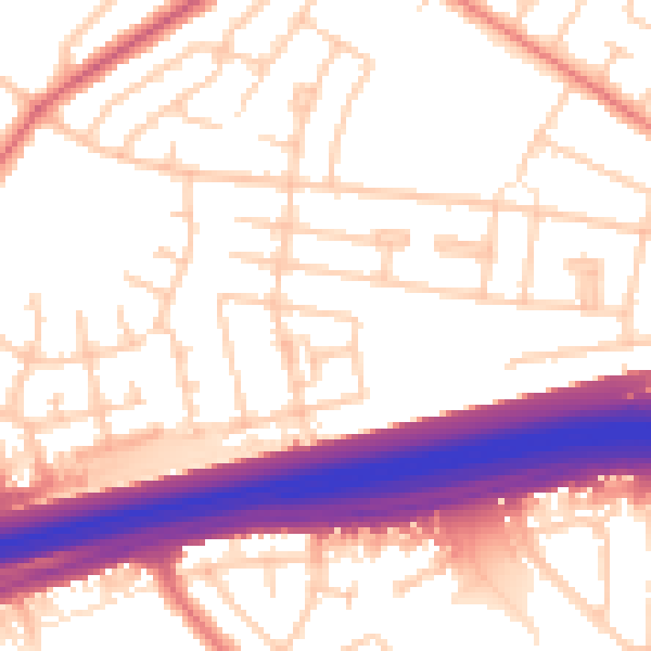
Daytime· 07:00 – 23:00
55.1dB

Night-time· 23:00 – 07:00
45.8dB