25 Willoughby Road, Broadgreen, Liverpool, L14 6XA
About 25 Willoughby Road
25 Willoughby Road is a property in Broadgreen, Liverpool, Liverpool (L14 6XA). It has council tax band A.
Untraded for 22 years, with the last transfer in May 2004. One planning record on file: an extension approved in 2009. Past consents include an extension and a conservatory, meaningful when judging how the property has evolved.
Everything you need to know about 25 Willoughby Road
The true value, the hidden risks and the full sale history, in one report.
Pick your report · every report is £14.99
One time fee only - money back guarantee

The data behind every report


Energy performance
No EPC on record
This property doesn't have an Energy Performance Certificate yet. An EPC is required to sell or let — and unlocks our automated valuation.
Get a survey for this property
Level 2 HomeBuyer Report
We've checked 10 risk factors against the available data for this property and believe a Level 2 HomeBuyer Report could be a suitable option for you.
Planning history
25 Willoughby Road has an approved rear extension on the planning record.
1 application on record at 25 Willoughby Road, Broadgreen, Liverpool, L14 6XA
- Sept 2009ConservatoryFullOutcome in report
Extension: Rear of property
ERECTION OF SINGLE STOREY CONSERVATORY TO REAR OF DWELLING
Extension- Documents
- 1 doc on file
- Reference
- 09/00392/FUL
Unlock 25 Willoughby Road, Broadgreen, Liverpool, L14 6XA's full planning history
You're seeing the shape of it. The report has the substance.
- Every decision — granted, refused or withdrawn (1 on record)
- All 1 application on this property in full
- The 1 documents, officer reports & conditions
- What the pattern means for extending or converting here
One time fee only - money back guarantee
Sales history & valuation
£119,500
Recorded with HM Land Registry.
Sales timeline
27 May 2004Most recent
£119,500
Median price across the last 5 sales in L14 6XA: £125,000 (2023–2018).
Nearby sales in L14 6XA
11 Willoughby Road, Broadgreen, Liverpool, L14 6XA
Sold Aug 2023
£215,00033 Willoughby Road, Broadgreen, Liverpool, L14 6XA
Sold Aug 2022
£196,00039 Willoughby Road, Broadgreen, Liverpool, L14 6XA
Sold Aug 2018
£85,00017 Willoughby Road, Broadgreen, Liverpool, L14 6XA
Sold Feb 2018
£115,0001 Willoughby Road, Broadgreen, Liverpool, L14 6XA
Sold Nov 2017
£164,950
Everything you need to know about 25 Willoughby Road
The true value, the hidden risks and the full sale history, in one report.
Pick your report · every report is £14.99
One time fee only - money back guarantee
The data behind every report
Similar properties nearby
The neighbourhood at a glance
Reported crime in the wider district is trending notably upward year-on-year.
Crime
6/mo
Rising year-on-year across the wider district.
Nearest stop
0.3 km
Ashfield Way — bus stop.
Closest school
0.1 km
Malvern Primary School. 45 schools nearby.
Go deeper on the local area
A Local Area report breaks down crime, transport links, schools and air quality in depth.
Road noise across the postcode
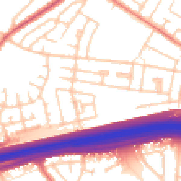
Daytime· 07:00 – 23:00
55.1dB

Night-time· 23:00 – 07:00
45.7dB