9 Lysander Gardens, Surbiton, KT6 6AT
About 9 Lysander Gardens
9 Lysander Gardens is a property in Surbiton (KT6 6AT). It has council tax band C.
Held since December 2000 — that's 25 years off the open market, well above the local norm. Across 1995–2000, sale prices on this property compounded at 10.5% per year.
Know exactly what you're buying at 9 Lysander Gardens
Before you offer, see what the listing won't tell you, the true value, the red flags and the full history.
Already flagged here
Valuation
against the asking price
Risks
planning & flood
Sold prices
similar homes nearby
Trends
the local market
Energy performance
No EPC on record
This property doesn't have an Energy Performance Certificate yet. An EPC is required to sell or let — and unlocks our automated valuation.
Planning history
9 Lysander Gardens has no planning applications on record.
Notable planning nearby
1applications of note in the surrounding area
We flagged 1 thing worth checking at 9 Lysander Gardens
Independent checks surfaced things a buyer would want to understand before offering. The report explains each one in full, with the underlying data and what to ask.
- Larger development activity nearby
30-day money-back guarantee
Sales history & valuation
£116,000
Growth on file: 10.5% per year over 5 years.
Sales timeline
7 December 2000Most recent
£116,000
+70.6%over 5 years27 July 1995
£68,000
Median price across the last 5 sales in KT6 6AT: £310,000 (2025–2021).
Nearby sales in KT6 6AT
Everything we know about 9 Lysander Gardens, in one report
What it's really worth, what could be wrong, and the planning, sales and area data in full.
What we flagged
- Larger development activity nearby

Similar properties nearby
1 Brunswick Lodge, Ewell Road
KT6 6BB
1 Hill Crest, Upper Brighton Road
KT6 6JX
1 Lockesley Square, Lovelace Gardens
KT6 6RT
1 Kingswood Close
KT6 6DZ
1 Glenbuck Court, Glenbuck Road
KT6 6BY
1 Downs View Lodge, Oak Hill Road
KT6 6EG
1 Gloucester Court, Lovelace Gardens
KT6 6SB
1 Brockley Court, Langley Road
KT6 6LL
The neighbourhood at a glance
Rail-style transport is unusually close for this postcode.
Crime
9/mo
Steady year-on-year across the wider district.
Nearest stop
0.1 km
Surbiton Health Centre — bus stop.
Closest school
0.3 km
Lime Tree Primary School. 34 schools nearby.
Go deeper on the local area
The full report breaks down crime, transport links, schools and air quality in depth.
Road noise across the postcode
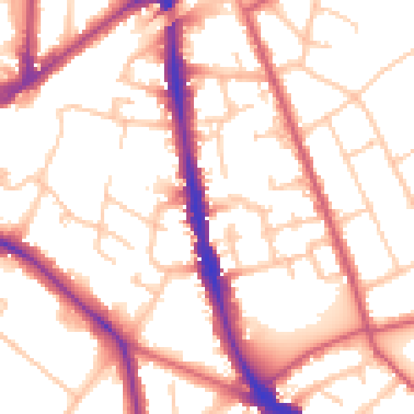
Daytime· 07:00 – 23:00
54.1dB

Night-time· 23:00 – 07:00
43.9dB