9 Dysart Avenue, Kingston Upon Thames, KT2 5QZ
About 9 Dysart Avenue
9 Dysart Avenue is a four-bedroom semi-detached house in Kingston Upon Thames (KT2 5QZ). It has a recorded floor area of 113 m² (around 1216 sq ft), construction records dating it to 1930-1949 and council tax band F. The latest certificate (July 2014) shows an F (score 31), near the bottom of the EPC scale. The recommended improvements would lift it to C (score 78), a 3-band jump. The latest certificate is from July 2014, so improvements made since then won't be reflected.
On energy efficiency it sits in the bottom 10% of properties in this postcode — significant headroom for improvement. Today's modelled estimate of £1,125,000 is 31.3% above the 2014 sale price. On a £-per-square-foot basis, the last sale (£705/sq ft) was about 68.6% above the typical sold price in the postcode. Last changed hands 12 years ago, in October 2014.
What this property has
Inside
- Bedrooms4
- Bathrooms1
Everything you need to know about 9 Dysart Avenue
The true value, the hidden risks and the full sale history, in one report.
30-day money-back guarantee

The data behind every report


Energy performance
9 Dysart Avenue sits at the bottom of the postcode for energy efficiency — meaningful headroom to improve.
EPC Expired
This certificate is over 10 years old and is no longer valid.Expired 01 Jul 2024
EPC Rating
Planning history
9 Dysart Avenue has no planning applications on record.
Notable planning nearby
3applications of note in the surrounding area
Sales history & valuation
9 Dysart Avenue valuation sits well clear of the typical sold price in this postcode.
£1,125,000
Modelled from EPC, postcode comparables.
£857,000
Recorded with HM Land Registry.
Sales timeline
21 October 2014Most recent
£857,000
Median price across the last 5 sales in KT2 5QZ: £756,500 (2023–2018).
Nearby sales in KT2 5QZ
49 Dysart Avenue, Kingston Upon Thames, KT2 5QZ
Sold Apr 2023
£1,020,0005 Dysart Avenue, Kingston Upon Thames, KT2 5QZ
Sold Jun 2022
£1,210,00045 Dysart Avenue, Kingston Upon Thames, KT2 5QZ
Sold Dec 2019
£756,50017 Dysart Avenue, Kingston Upon Thames, KT2 5QZ
Sold May 2019
£740,00047 Dysart Avenue, Kingston Upon Thames, KT2 5QZ
Sold Jan 2018
£747,500
Versus other Dysart Avenue homes
On epc rating, 9 Dysart Avenue runs well behind the street norm.
Price per m²
£7,584
Street avg £6,284
Floor Area
113 m²
Street avg 118 m²
Habitable Rooms
6 rooms
Street avg 6 rooms
CO₂ Emissions
9.5 t/year
Street avg 5.9 t/year
Everything you need to know about 9 Dysart Avenue
The true value, the hidden risks and the full sale history, in one report.
30-day money-back guarantee
The data behind every report
Similar properties nearby
The neighbourhood at a glance
Reported crime in the wider district is trending notably upward year-on-year.
Crime
5/mo
Rising year-on-year across the wider district.
Nearest stop
0.1 km
Lammas Road — bus stop.
Closest school
0.5 km
Meadlands Primary School. 34 schools nearby.
Go deeper on the local area
The full report breaks down crime, transport links, schools and air quality in depth.
Road noise across the postcode
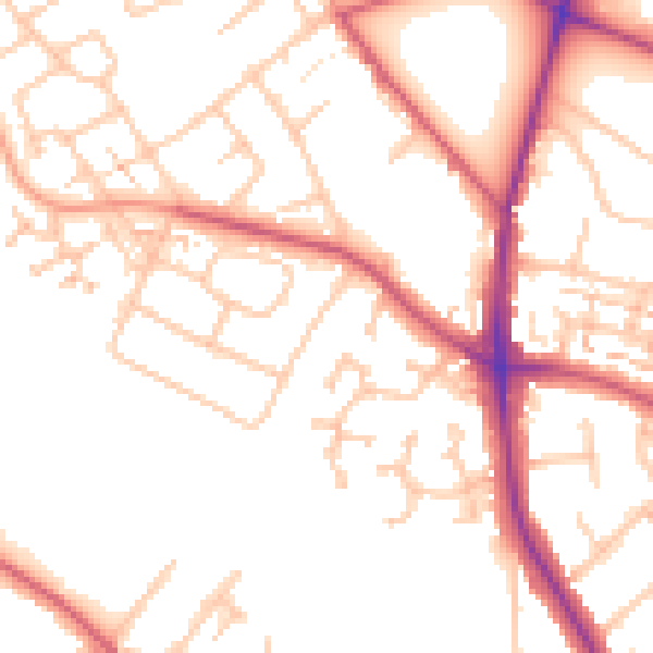
Daytime· 07:00 – 23:00
51.3dB

Night-time· 23:00 – 07:00
41.5dB