19 Camel Grove, Kingston Upon Thames, KT2 5GR
About 19 Camel Grove
19 Camel Grove is a two-bedroom semi-detached house in Kingston Upon Thames (KT2 5GR). It has a recorded floor area of 57 m² (around 614 sq ft), construction records dating it to 1996-2002 and council tax band D. At 57 m² this is the 5th smallest of 24 units on EPC record in the building, where floor areas span 51–170 m². The building's EPC ratings span D to C, with this unit at the top. The latest certificate (August 2021) shows a C (score 69), just inside the C band. Main heating runs on electricity.
It hasn't traded since February 2007, a hold of 19 years that's notably long for the area. That sale landed at the peak of the pre-credit-crunch market, which is a useful reference point when interpreting the price. Across 1996–2007, sale prices on this property compounded at 9.9% per year. Today's modelled estimate of £390,000 sits 62.5% above the 2007 sale of £240,000. On a £-per-square-foot basis, the last sale (£391/sq ft) was about 46.9% above the typical sold price in the postcode. At 57 m² it's 18.6% smaller than the typical home in the postcode (70 m² median across 23 EPCs).
What this property has
Inside
- Bedrooms2
Outside
- ParkingYes
Everything you need to know about 19 Camel Grove
The true value, the hidden risks and the full sale history, in one report.
30-day money-back guarantee

The data behind every report


Energy performance
EPC Rating
Planning history
19 Camel Grove has no planning applications on record.
Notable planning nearby
3applications of note in the surrounding area
Sales history & valuation
19 Camel Grove has more than doubled in price since the earliest registered sale in 1996.
£390,000
Modelled from EPC, postcode comparables and a sale-price growth of 9.9% per year over 10 years.
£240,000
Growth on file: 9.9% per year over 10 years.
Sales timeline
21 February 2007Most recent
£240,000
+168.2%over 10 years22 August 1996
£89,495
Median price across the last 5 sales in KT2 5GR: £1,180,000 (2025–2024).
Nearby sales in KT2 5GR
6 Camel Grove, Kingston Upon Thames, KT2 5GR
Sold Oct 2025
£675,00022 Camel Grove, Kingston Upon Thames, KT2 5GR
Sold Jul 2025
£1,180,0008 Camel Grove, Kingston Upon Thames, KT2 5GR
Sold Jan 2025
£1,250,00011 Camel Grove, Kingston Upon Thames, KT2 5GR
Sold Sept 2024
£1,250,0004a, Camel Grove, Kingston Upon Thames, KT2 5GR
Sold Feb 2024
£655,000
Versus other Camel Grove homes
19 Camel Grove is notably below the street on price per m².
Price per m²
£4,211
Street avg £5,838
Floor Area
57 m²
Street avg 54 m²
Habitable Rooms
3 rooms
Street avg 3 rooms
CO₂ Emissions
3.1 t/year
Street avg 2.3 t/year
Everything you need to know about 19 Camel Grove
The true value, the hidden risks and the full sale history, in one report.
30-day money-back guarantee
The data behind every report
Similar properties nearby
The neighbourhood at a glance
Reported crime in the wider district is trending notably upward year-on-year.
Crime
5/mo
Rising year-on-year across the wider district.
Nearest stop
0.0 km
Richmond Road Ham — bus stop.
Closest school
0.6 km
The Tiffin Girls' School. 34 schools nearby.
Go deeper on the local area
The full report breaks down crime, transport links, schools and air quality in depth.
Road noise across the postcode
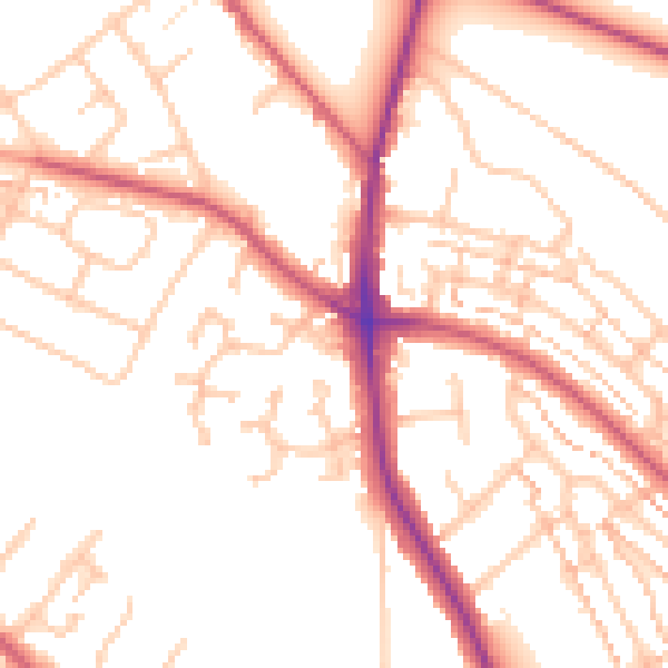
Daytime· 07:00 – 23:00
51.9dB

Night-time· 23:00 – 07:00
41.9dB