6 Camel Grove, Kingston Upon Thames, KT2 5GR
About 6 Camel Grove
6 Camel Grove is a two-bedroom mid-terrace house in Kingston Upon Thames (KT2 5GR). It has a recorded floor area of 71 m² (around 764 sq ft), construction records dating it to 1996-2002 and council tax band E. The latest certificate (July 2025) shows a C (score 73).
Most recent transfer was October 2025 at £675,000 — fresh data. Across 1996–2025, sale prices on this property compounded at 5.9% per year. On a £-per-square-foot basis, the last sale (£883/sq ft) was about 230% above the typical sold price in the postcode.
What this property has
Inside
- Bedrooms2
- Bathrooms2
- EnsuiteYes
Outside
- Private gardenYes
- GarageYes
Everything you need to know about 6 Camel Grove
The true value, the hidden risks and the full sale history, in one report.
30-day money-back guarantee

The data behind every report


Energy performance
EPC Rating
Planning history
6 Camel Grove has no planning applications on record.
Notable planning nearby
3applications of note in the surrounding area
Sales history & valuation
6 Camel Grove has more than quadrupled in price since its earliest registered sale in 1996.
£702,000
Modelled from EPC, postcode comparables and a sale-price growth of 5.9% per year over 29 years.
£675,000
Growth on file: 5.9% per year over 29 years.
Sales timeline
9 October 2025Most recent
£675,000
+322.0%over 27 years5 August 1998
£159,950
+25.0%over 1 year19 December 1996
£128,000
Median price across the last 5 sales in KT2 5GR: £1,180,000 (2025–2024).
Nearby sales in KT2 5GR
22 Camel Grove, Kingston Upon Thames, KT2 5GR
Sold Jul 2025
£1,180,0008 Camel Grove, Kingston Upon Thames, KT2 5GR
Sold Jan 2025
£1,250,00011 Camel Grove, Kingston Upon Thames, KT2 5GR
Sold Sept 2024
£1,250,0004a, Camel Grove, Kingston Upon Thames, KT2 5GR
Sold Feb 2024
£655,00013 Camel Grove, Kingston Upon Thames, KT2 5GR
Sold Feb 2024
£335,000
Versus other Camel Grove homes
Years Held for 6 Camel Grove lags the street by a wide margin.
Price per m²
£9,507
Street avg £5,321
Floor Area
71 m²
Street avg 111 m²
Habitable Rooms
3 rooms
Street avg 5 rooms
CO₂ Emissions
1.6 t/year
Street avg 3.5 t/year
Everything you need to know about 6 Camel Grove
The true value, the hidden risks and the full sale history, in one report.
30-day money-back guarantee
The data behind every report
Similar properties nearby
The neighbourhood at a glance
Reported crime in the wider district is trending notably upward year-on-year.
Crime
5/mo
Rising year-on-year across the wider district.
Nearest stop
0.0 km
Richmond Road Ham — bus stop.
Closest school
0.6 km
The Tiffin Girls' School. 34 schools nearby.
Go deeper on the local area
The full report breaks down crime, transport links, schools and air quality in depth.
Road noise across the postcode
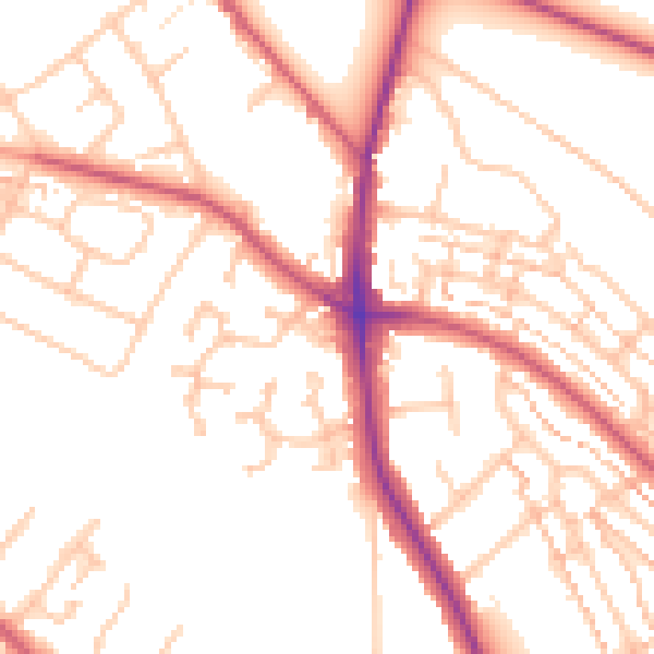
Daytime· 07:00 – 23:00
51.9dB

Night-time· 23:00 – 07:00
41.9dB