Garland House, Flat 21, Royal Quarter, Seven Kings Way, Kingston Upon Thames, KT2 5AF
About Garland House
Garland House is a semi-detached house in Kingston Upon Thames (KT2 5AF). It has a recorded floor area of 76 m² (around 818 sq ft), construction records dating it to 2003-2006 and council tax band E. At 76 m² this is the 36th smallest of 47 units on EPC record in Garland House, where floor areas span 46–121 m². The building's EPC ratings span D to B across 47 units on file. The latest certificate (October 2018) shows a C (score 79), near the top of the C band. The recommended improvements would push it to B (score 82). Main heating runs on electricity.
Held since December 2004 — that's 21 years off the open market, well above the local norm. Today's modelled estimate of £451,000 sits 55.5% above the 2004 sale of £290,000. On a £-per-square-foot basis, the last sale (£354/sq ft) was about 20.5% below the postcode norm. At 76 m² it's 15.2% larger than the typical home in the postcode (66 m² median across 46 EPCs).
Everything you need to know about Garland House
The true value, the hidden risks and the full sale history, in one report.
30-day money-back guarantee

The data behind every report


Energy performance
EPC Rating
Planning history
Garland House has no planning applications on record.
Notable planning nearby
3applications of note in the surrounding area
We flagged 1 thing worth checking at Garland House
Independent checks surfaced things a buyer would want to understand before offering. The report explains each one in full, with the underlying data and what to ask.
- Environmental risk flagged
30-day money-back guarantee
Sales history & valuation
Garland House valuation sits well clear of the typical sold price in this postcode.
£451,000
Modelled from EPC, postcode comparables.
£290,000
Recorded with HM Land Registry.
Sales timeline
6 December 2004Most recent
£290,000
Median price across the last 5 sales in KT2 5AF: £450,000 (2024–2022).
Nearby sales in KT2 5AF
Garland House, Flat 2, Royal Quarter, Seven Kings Way, Kingston Upon Thames, KT2 5AF
Sold Aug 2024
£465,000Garland House, Flat 26, Royal Quarter, Seven Kings Way, Kingston Upon Thames, KT2 5AF
Sold Nov 2023
£370,000Garland House, Flat 11, Royal Quarter, Seven Kings Way, Kingston Upon Thames, KT2 5AF
Sold Nov 2022
£499,950Garland House, Flat 23, Royal Quarter, Seven Kings Way, Kingston Upon Thames, KT2 5AF
Sold Jul 2022
£450,000Garland House, Flat 38, Royal Quarter, Seven Kings Way, Kingston Upon Thames, KT2 5AF
Sold May 2022
£429,950
Versus other Royal Quarter homes
Years Held for Garland House runs comfortably ahead of the street norm.
Price per m²
£3,816
Street avg £5,411
Floor Area
76 m²
Street avg 69 m²
Habitable Rooms
3 rooms
Street avg 3 rooms
CO₂ Emissions
2.4 t/year
Street avg 1.9 t/year
Everything you need to know about Garland House
The true value, the hidden risks and the full sale history, in one report.
30-day money-back guarantee
The data behind every report
Similar properties nearby
39a, Flat 2, Walter Street
KT2 5DS
37a, Flat 1, Richmond Road
KT2 5BW
206a, Flat 3, Richmond Road
KT2 5HE
42a, Flat 13, Albany Park Road
KT2 5SY
42a, Flat 15, Albany Park Road
KT2 5SY
42a, Flat 19, Albany Park Road
KT2 5SY
42a, Flat 23, Albany Park Road
KT2 5SY
37a, Flat 2, Richmond Road
KT2 5BW
The neighbourhood at a glance
Rail-style transport is unusually close for this postcode.
Crime
5/mo
Rising year-on-year across the wider district.
Nearest stop
0.2 km
Kingston Station — bus stop.
Closest school
0.6 km
St Luke's CofE Primary School. 34 schools nearby.
Go deeper on the local area
The full report breaks down crime, transport links, schools and air quality in depth.
Road noise across the postcode
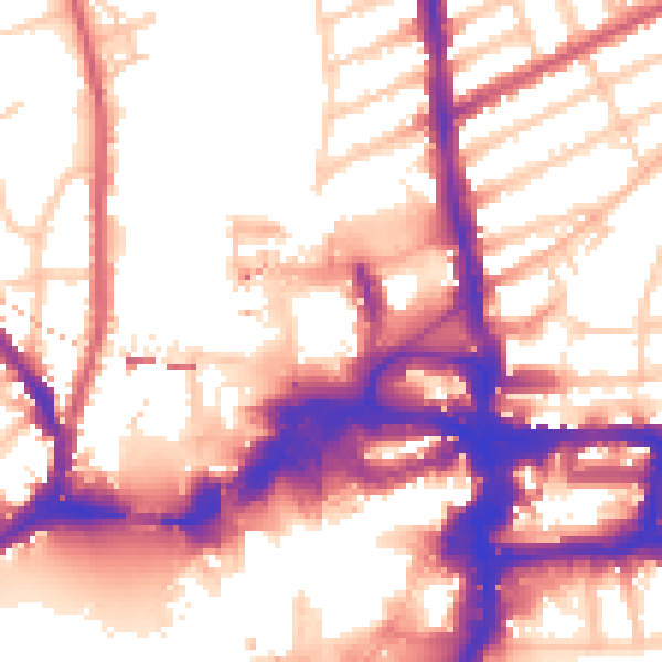
Daytime· 07:00 – 23:00
57.1dB

Night-time· 23:00 – 07:00
48.3dB