39 Ely Road, Ipswich, IP4 3BY
About 39 Ely Road
39 Ely Road is a three-bedroom detached house in Ipswich (IP4 3BY). It has a recorded floor area of 89 m² (around 958 sq ft), construction records dating it to 1930-1949 and council tax band C. The latest certificate (February 2017) shows a D (score 66), on the cusp of jumping into the C band. The recommended improvements would lift it to B (score 84), a 2-band jump. Other recorded features include a conservatory.
Today's modelled estimate of £395,000 is 21.5% above the 2017 sale price. On a £-per-square-foot basis, the last sale (£339/sq ft) was about 71.1% above the typical sold price in the postcode. 9 years since the last transfer (May 2017). One historical planning record sits against the property in 2019.
What this property has
Inside
- Bedrooms3
- Bathrooms1
- ConservatoryYes
Outside
- Private gardenRear
- GarageYes
Everything you need to know about 39 Ely Road
The true value, the hidden risks and the full sale history, in one report.
Pick your report · every report is £14.99
One time fee only - money back guarantee

The data behind every report


Energy performance
Recommended upgrades on file would lift this property by multiple EPC bands.
EPC Rating
Get a survey for this property
Level 2 HomeBuyer Report
We've checked 10 risk factors against the available data for this property and believe a Level 2 HomeBuyer Report could be a suitable option for you.
From £595 · Includes VAT
Planning history
Council records include a two-storey rear extension at 39 Ely Road.
1 application on record at 39 Ely Road, Ipswich, IP4 3BY
- Jun 2019ExtensionFullOutcome in report
Extension: Two storey · Rear of property
Two-storey rear extension.
- Documents
- 6 docs on file
- Reference
- 19/00311/FUL
Unlock 39 Ely Road, Ipswich, IP4 3BY's full planning history
You're seeing the shape of it. The report has the substance.
- Every decision — granted, refused or withdrawn
- All 1 application on this property in full, plus 2 notable nearby
- The 6 documents, officer reports & conditions
- What the pattern means for extending or converting here
One time fee only - money back guarantee
Sales history & valuation
39 Ely Road valuation sits well clear of the typical sold price in this postcode.
£395,000
Modelled from EPC, postcode comparables.
£325,000
Recorded with HM Land Registry.
Sales timeline
25 May 2017Most recent
£325,000
Median price across the last 5 sales in IP4 3BY: £307,500 (2021–2019).
Versus other Ely Road homes
Price per m² for 39 Ely Road runs comfortably ahead of the street norm.
Price per m²
£3,652
Street avg £2,752
Floor Area
89 m²
Street avg 100 m²
Habitable Rooms
5 rooms
Street avg 5 rooms
CO₂ Emissions
3.6 t/year
Street avg 4.3 t/year
Everything you need to know about 39 Ely Road
The true value, the hidden risks and the full sale history, in one report.
Pick your report · every report is £14.99
One time fee only - money back guarantee
The data behind every report
Similar properties nearby
The neighbourhood at a glance
Reported crime in the wider district is trending notably upward year-on-year.
Crime
9/mo
Rising year-on-year across the wider district.
Nearest stop
0.2 km
Baptist Church — bus stop.
Closest school
0.2 km
Northgate High School. 17 schools nearby.
Go deeper on the local area
A Local Area report breaks down crime, transport links, schools and air quality in depth.
Road noise across the postcode
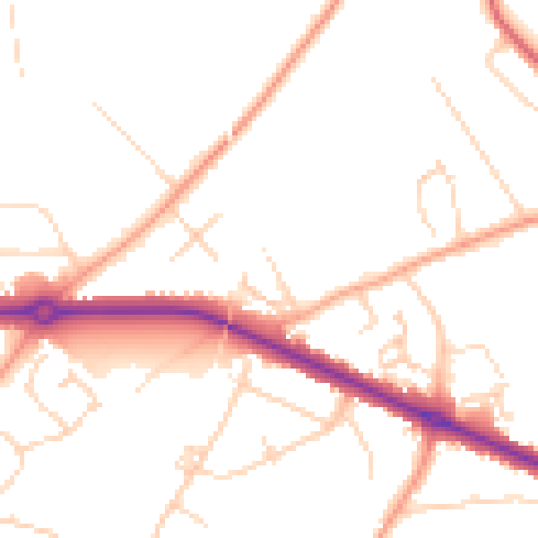
Daytime· 07:00 – 23:00
49.1dB

Night-time· 23:00 – 07:00
39.6dB