29 Ely Road, Ipswich, IP4 3BY
About 29 Ely Road
29 Ely Road is a three-bedroom semi-detached house in Ipswich (IP4 3BY). It has a recorded floor area of 82 m² (around 883 sq ft), construction records dating it to 1930-1949 and council tax band C. The latest certificate (May 2010) shows an E (score 48), well below the UK norm with real room to improve. The recommended improvements would lift it to C (score 75), a 2-band jump. The latest certificate is from May 2010, so improvements made since then won't be reflected. Records show the property has been extended at some point in its history. The home occupies a cul-de-sac position.
It lags the bulk of the postcode on energy efficiency (less efficient than 82% of similar EPCs). Across 2010–2019, sale prices on this property compounded at 5.1% per year. Today's modelled estimate of £331,000 is 22.6% above the 2019 sale price. On a £-per-square-foot basis, the last sale (£306/sq ft) was about 60.7% above the typical sold price in the postcode. Sold May 2019 for £270,000. One historical planning record sits against the property in 2017.
What this property has
Inside
- Bedrooms3
- Bathrooms1
- Open-plan layoutYes
- Dining roomYes
Outside
- GarageDetached
- Cul-de-sacYes
Building
- Heating systemGas
- Previously extendedYes
Everything you need to know about 29 Ely Road
The true value, the hidden risks and the full sale history, in one report.
Pick your report · every report is £14.99
One time fee only - money back guarantee

The data behind every report


Energy performance
29 Ely Road's carbon output runs well above what efficient homes in the postcode produce.
EPC Expired
This certificate is over 10 years old and is no longer valid.Expired 13 May 2020
EPC Rating
Get a survey for this property
Level 2 HomeBuyer Report
We've checked 10 risk factors against the available data for this property and believe a Level 2 HomeBuyer Report could be a suitable option for you.
From £595 · Includes VAT
Planning history
1 application on record at 29 Ely Road, Ipswich, IP4 3BY
- Dec 2017ExtensionFullOutcome in report
Extension: Part single, part two storey
Erection of part single/part two-storey rear extension, single-storey front extension and insertion of first floor bathroom window.
- Documents
- 10 docs on file
- Reference
- 17/01014/FUL
Unlock 29 Ely Road, Ipswich, IP4 3BY's full planning history
You're seeing the shape of it. The report has the substance.
- Every decision — granted, refused or withdrawn
- All 1 application on this property in full, plus 2 notable nearby
- The 10 documents, officer reports & conditions
- What the pattern means for extending or converting here
One time fee only - money back guarantee
Sales history & valuation
29 Ely Road saw 3 transfers in just over a decade — high turnover for the postcode.
£331,000
Modelled from EPC, postcode comparables and a sale-price growth of 5.1% per year over 9 years.
£270,000
Growth on file: 5.1% per year over 9 years.
Sales timeline
2 May 2019Most recent
£270,000
+18.7%over 3 years28 May 2015
£227,500
+30.0%over 4 years29 July 2010
£174,995
Median price across the last 5 sales in IP4 3BY: £325,000 (2021–2017).
Versus other Ely Road homes
29 Ely Road is notably below the street on co₂ emissions.
Price per m²
£3,293
Street avg £2,797
Floor Area
82 m²
Street avg 101 m²
Habitable Rooms
5 rooms
Street avg 5 rooms
CO₂ Emissions
6.0 t/year
Street avg 4.1 t/year
Everything you need to know about 29 Ely Road
The true value, the hidden risks and the full sale history, in one report.
Pick your report · every report is £14.99
One time fee only - money back guarantee
The data behind every report
Similar properties nearby
The neighbourhood at a glance
Reported crime in the wider district is trending notably upward year-on-year.
Crime
9/mo
Rising year-on-year across the wider district.
Nearest stop
0.2 km
Baptist Church — bus stop.
Closest school
0.2 km
Northgate High School. 17 schools nearby.
Go deeper on the local area
A Local Area report breaks down crime, transport links, schools and air quality in depth.
Road noise across the postcode
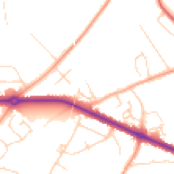
Daytime· 07:00 – 23:00
49.1dB

Night-time· 23:00 – 07:00
39.6dB