10 Stirling Road, Carbrooke, Thetford, IP25 6FH
About 10 Stirling Road
10 Stirling Road is a semi-detached house in Carbrooke, Thetford, Thetford (IP25 6FH). It has a recorded floor area of 74 m² (around 797 sq ft), construction records dating it to 2007-2011 and council tax band C. The latest certificate (September 2020) shows a C (score 79), near the top of the C band. The recommended improvements would lift it to A (score 92), a 2-band jump.
At 74 m² it sits well below the postcode median (108 m² across 18 EPCs), making it one of the more compact homes locally. Today's modelled estimate of £207,000 is 25.5% above the 2020 sale price. On a £-per-square-foot basis, the last sale (£207/sq ft) was about 32.1% above the typical sold price in the postcode. Sold October 2020 for £165,000.
Know exactly what you're buying at 10 Stirling Road
Before you offer, see what the listing won't tell you, the true value, the red flags and the full history.
Already flagged here
Valuation
against the asking price
Risks
planning & flood
Sold prices
similar homes nearby
Trends
the local market
Energy performance
Recommended upgrades on file would lift this property by multiple EPC bands.
EPC Rating
Planning history
10 Stirling Road has no planning applications on record.
Notable planning nearby
5applications of note in the surrounding area
We flagged 1 thing worth checking at 10 Stirling Road
Independent checks surfaced things a buyer would want to understand before offering. The report explains each one in full, with the underlying data and what to ask.
- Larger development activity nearby
30-day money-back guarantee
Sales history & valuation
10 Stirling Road's sale-price growth has lagged the wider UK trajectory across its history on file.
£207,000
Modelled from EPC, postcode comparables and a sale-price growth of 0.4% per year over 12 years.
£165,000
Growth on file: 0.4% per year over 12 years.
Sales timeline
15 October 2020Most recent
£165,000
+5.4%over 3 years30 March 2017
£156,500
-0.9%over 8 years25 September 2008
£158,000
Median price across the last 5 sales in IP25 6FH: £200,000 (2025–2021).
Nearby sales in IP25 6FH
5 Stirling Road, Carbrooke, Thetford, IP25 6FH
Sold Jul 2025
£210,00017 Stirling Road, Carbrooke, Thetford, IP25 6FH
Sold Feb 2025
£200,00019a, Stirling Road, Carbrooke, Thetford, IP25 6FH
Sold Dec 2021
£180,00015 Stirling Road, Carbrooke, Thetford, IP25 6FH
Sold Sept 2021
£160,00013 Stirling Road, Carbrooke, Thetford, IP25 6FH
Sold Feb 2021
£245,000
Everything we know about 10 Stirling Road, in one report
What it's really worth, what could be wrong, and the planning, sales and area data in full.
What we flagged
- Larger development activity nearby

Versus other Stirling Road homes
Floor Area for 10 Stirling Road lags the street by a wide margin.
Price per m²
£2,230
Street avg £2,006
Floor Area
74 m²
Street avg 101 m²
Habitable Rooms
5 rooms
Street avg 5 rooms
CO₂ Emissions
1.8 t/year
Street avg 2.4 t/year
Similar properties nearby
1 Broadmoor Cottage, Broadmoor Road, Carbrooke
IP25 6TE
1 Akrotiri Square, Watton
IP25 6HY
1 Blenheim Crescent, Griston
IP25 6RN
1 Ashtree Road, Watton
IP25 6PF
1 Beechwood Avenue, Watton
IP25 6AJ
1 Bridle Road, Watton
IP25 6NA
1 Buckingham Close, Carbrooke
IP25 6WL
1 Adland Road, Carbrooke
IP25 6GP
The neighbourhood at a glance
Daytime road noise here sits well below conversation level — a quiet pocket of the postcode.
Crime
3/mo
Steady year-on-year across the wider district.
Closest school
2.1 km
St Peter and St Paul Church of England Primary Academy & Nursery. 5 schools nearby.
Go deeper on the local area
The full report breaks down crime, transport links, schools and air quality in depth.
Road noise across the postcode
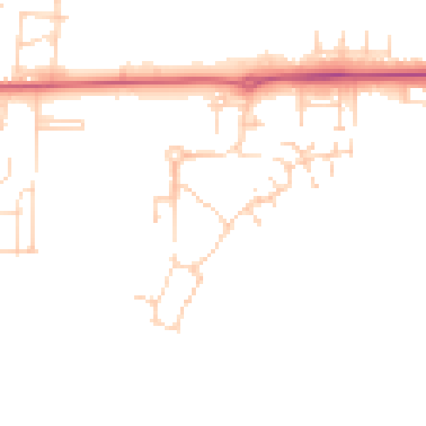
Daytime· 07:00 – 23:00
45.3dB

Night-time· 23:00 – 07:00
37.9dB