2 Albion Hill, Loughton, IG10 4RA
About 2 Albion Hill
2 Albion Hill is a two-bedroom detached house in Loughton (IG10 4RA). It has a recorded floor area of 165 m² (around 1774 sq ft), construction records dating it to 1983-1990 and council tax band G. The latest certificate (October 2009) shows an E (score 53), well below the UK norm with real room to improve. The recommended improvements would push it to D (score 66). The latest certificate is from October 2009, so improvements made since then won't be reflected. Other recorded features include a balcony.
Untraded for 28 years, with the last transfer in April 1998. Only one transfer is on record with HM Land Registry, suggesting it has stayed in the same hands for a long time. Today's modelled estimate of £952,000 sits 236.4% above the 1998 sale of £283,000. On a £-per-square-foot basis, the last sale (£160/sq ft) was about 60% below the postcode norm. 3 planning records sit against the property, 1 approved, 0 refused. Past consents include tree works, meaningful when judging how the property has evolved. At 165 m² it's 16.9% larger than the typical home in the postcode (141 m² median across 18 EPCs). It lags the bulk of the postcode on energy efficiency (less efficient than 83% of similar EPCs).
Know exactly what you're buying at 2 Albion Hill
Before you offer, see what the listing won't tell you, the true value, the red flags and the full history.
Valuation
against the asking price
Risks
planning & flood
Sold prices
similar homes nearby
Trends
the local market
What this property has
Inside
- Bedrooms2
- Bathrooms2
- Open-plan layoutYes
- EnsuiteYes
Outside
- ParkingAllocated
- BalconyYes
Energy performance
2 Albion Hill's carbon output runs well above what efficient homes in the postcode produce.
EPC Expired
This certificate is over 10 years old and is no longer valid.Expired 09 Oct 2019
EPC Rating
Planning history
- Feb 2026Tree WorksTreesIn report
TPO/EPF/41/99 (Ref: T5, T6) T1: Cedar - Selective prune lower branches by up to 4m, as specified. T2: Yew - Crown reduce height by up to 2m, as specified. NB: The permitted specification of works is detailed in the conditions below.
- Documents
- 5 docs on file
- Reference
- EPF/2297/25
- May 2013ExtensionOutlineIn report
Certificate of lawful development for a proposed hip to gable roof extension and dormer window.
- Documents
- 7 docs on file
- Reference
- EPF/0566/13
What's in 2 Albion Hill, Loughton, IG10 4RA's planning history?
1 more on this property, plus refusals, disputes and full decisions nearby, in the report.
Sales history & valuation
2 Albion Hill's estimated value is more than triple its earliest registered sale price (1998).
£952,000
Modelled from EPC, postcode comparables.
£283,000
Recorded with HM Land Registry.
Sales timeline
15 April 1998Most recent
£283,000
Median price across the last 5 sales in IG10 4RA: £450,000 (2025–2021).
Nearby sales in IG10 4RA
Albion Park Court, 3, 7 Albion Hill, Loughton, IG10 4RA
Sold Oct 2025
£350,000Albion Park Court, 4, 7 Albion Hill, Loughton, IG10 4RA
Sold Jul 2025
£330,75015 Albion Hill, Loughton, IG10 4RA
Sold Jun 2025
£1,250,000Albion Park Court, 6, 7 Albion Hill, Loughton, IG10 4RA
Sold Mar 2022
£450,00019 Albion Hill, Loughton, IG10 4RA
Sold Jun 2021
£1,550,000
Everything we know about 2 Albion Hill, in one report
What it's really worth, what could be wrong, and the planning, sales and area data in full.
- Am I paying too much?
- Is something wrong with it?
- Is the agent's story true?
- Will it hold its value?

Versus other Albion Hill homes
Years Held for 2 Albion Hill runs comfortably ahead of the street norm.
Price per m²
£1,717
Street avg £4,895
Floor Area
165 m²
Street avg 196 m²
Habitable Rooms
8 rooms
Street avg 7 rooms
CO₂ Emissions
9.1 t/year
Street avg 9.7 t/year
Similar properties nearby
1 Lower Belle View Cottage, Smarts Lane
IG10 4BW
1 High Gables
IG10 4EZ
1 Lower Park Road
IG10 4NB
1 Hillcrest Road
IG10 4QH
1 Algers Mead
IG10 4NJ
1 Algers Close
IG10 4NH
1 Grange Court, High Road
IG10 4QX
1 Forest View Road
IG10 4DX
The neighbourhood at a glance
Rail-style transport is unusually close for this postcode.
Crime
4/mo
Steady year-on-year across the wider district.
Nearest stop
0.1 km
Spring Grove — bus stop.
Closest school
0.7 km
Roding Valley High School. 12 schools nearby.
Go deeper on the local area
The full report breaks down crime, transport links, schools and air quality in depth.
Road noise across the postcode
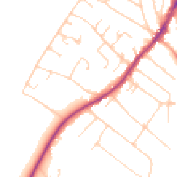
Daytime· 07:00 – 23:00
49.5dB

Night-time· 23:00 – 07:00
40.4dB