4 Ashfields, Loughton, IG10 1SB
About 4 Ashfields
4 Ashfields is a property in Loughton (IG10 1SB). It has council tax band F.
Untraded for 26 years, with the last transfer in September 2000. Only one transfer is on record with HM Land Registry, suggesting it has stayed in the same hands for a long time. One historical planning record sits against the property in 2008.
Know exactly what you're buying at 4 Ashfields
Before you offer, see what the listing won't tell you, the true value, the red flags and the full history.
Valuation
against the asking price
Risks
planning & flood
Sold prices
similar homes nearby
Trends
the local market
Energy performance
No EPC on record
This property doesn't have an Energy Performance Certificate yet. An EPC is required to sell or let — and unlocks our automated valuation.
Planning history
- Aug 2008ExtensionOutlineIn report
Certificate of lawfulness for a proposed rear extension.
- Documents
- 6 docs on file
- Reference
- EPF/1280/08
What's in 4 Ashfields, Loughton, IG10 1SB's planning history?
Refusals, disputes and full decisions on this property and nearby, in the report.
Sales history & valuation
£300,000
Recorded with HM Land Registry.
Sales timeline
7 September 2000Most recent
£300,000
Median price across the last 5 sales in IG10 1SB: £850,000 (2025–2020).
Everything we know about 4 Ashfields, in one report
What it's really worth, what could be wrong, and the planning, sales and area data in full.
- Am I paying too much?
- Is something wrong with it?
- Is the agent's story true?
- Will it hold its value?

Similar properties nearby
1 Forest Way
IG10 1JG
1 Brooklyn Avenue
IG10 1BJ
1 Brancaster Place, Church Hill
IG10 1QN
1 Carroll Hill
IG10 1NL
1 Lanterns, Whitakers Way
IG10 1SQ
1 Hill Top Place, Hill Top Close
IG10 1PW
1 Ashfields
IG10 1SB
1 Kings Green
IG10 1RJ
The neighbourhood at a glance
Daytime road noise here sits well below conversation level — a quiet pocket of the postcode.
Crime
4/mo
Steady year-on-year across the wider district.
Nearest stop
0.3 km
Sedley Rise — bus stop.
Closest school
0.8 km
Staples Road Primary School. 11 schools nearby.
Go deeper on the local area
The full report breaks down crime, transport links, schools and air quality in depth.
Road noise across the postcode
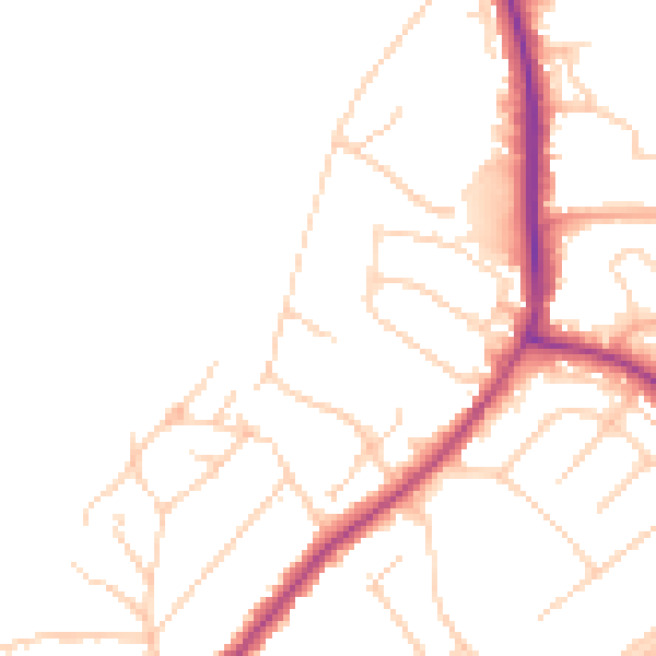
Daytime· 07:00 – 23:00
47.7dB

Night-time· 23:00 – 07:00
39.6dB