20 Forest Road, Loughton, IG10 1DX
About 20 Forest Road
20 Forest Road is a one-bedroom property in Loughton (IG10 1DX). It has council tax band C.
Untraded for 15 years, with the last transfer in January 2011. One planning record on file: tree works approved in 2012. Past consents include tree works, meaningful when judging how the property has evolved. 1 bedrooms is on the smaller side for this postcode, where 3 is the typical count.
Know exactly what you're buying at 20 Forest Road
Before you offer, see what the listing won't tell you, the true value, the red flags and the full history.
Valuation
against the asking price
Risks
planning & flood
Sold prices
similar homes nearby
Trends
the local market
What this property has
Inside
- Bedrooms1
Energy performance
No EPC on record
This property doesn't have an Energy Performance Certificate yet. An EPC is required to sell or let — and unlocks our automated valuation.
Planning history
- Jan 2012Tree WorksTreesIn report
TPO/EPF/07/80 T1 - Horse Chestnut - Selective crown reduction as specified
- Documents
- 3 docs on file
- Reference
- EPF/2393/11
What's in 20 Forest Road, Loughton, IG10 1DX's planning history?
Refusals, disputes and full decisions on this property and nearby, in the report.
Sales history & valuation
£245,000
Recorded with HM Land Registry.
Sales timeline
24 January 2011Most recent
£245,000
Median price across the last 5 sales in IG10 1DX: £545,000 (2024–2012).
Everything we know about 20 Forest Road, in one report
What it's really worth, what could be wrong, and the planning, sales and area data in full.
- Am I paying too much?
- Is something wrong with it?
- Is the agent's story true?
- Will it hold its value?

Similar properties nearby
1 Ashley Grove, Staples Road
IG10 1HS
1 Durnell Way
IG10 1TG
1 Chapel Terrace, Forest Road
IG10 1ED
1 Kings Green
IG10 1RJ
1 Lanterns, Whitakers Way
IG10 1SQ
1 Ashmeads, Church Lane
IG10 1PE
1 Brook Road
IG10 1BW
1 Habgood Road
IG10 1HF
The neighbourhood at a glance
Rail-style transport is unusually close for this postcode.
Crime
4/mo
Steady year-on-year across the wider district.
Nearest stop
0.1 km
Forest Road — bus stop.
Closest school
0.4 km
Roding Valley High School. 13 schools nearby.
Go deeper on the local area
The full report breaks down crime, transport links, schools and air quality in depth.
Road noise across the postcode
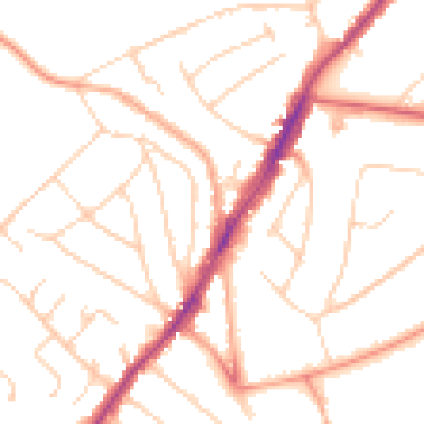
Daytime· 07:00 – 23:00
49.6dB

Night-time· 23:00 – 07:00
39.5dB