3 Rock Terrace, Hipperholme, Halifax, HX3 8PB
About 3 Rock Terrace
3 Rock Terrace is a five-bedroom mid-terrace house in Hipperholme, Halifax, Halifax (HX3 8PB). It has a recorded floor area of 224 m² (around 2411 sq ft), construction records dating it to 1900-1929 and council tax band B. The latest certificate (March 2020) shows a D (score 56), a step below the typical UK home. The recommended improvements would push it to C (score 78).
Across 2002–2020, sale prices on this property compounded at 3.6% per year. Today's modelled estimate of £398,000 is 33.8% above the 2020 sale price. On a £-per-square-foot basis, the last sale (£123/sq ft) was about 45.6% above the typical sold price in the postcode. 5 bedrooms is on the larger side for this postcode, where 3 is the typical count. Sold November 2020 for £297,500.
What this property has
Inside
- Bedrooms5
- Bathrooms2
Everything you need to know about 3 Rock Terrace
The true value, the hidden risks and the full sale history, in one report.
Pick your report · every report is £14.99
One time fee only - money back guarantee

The data behind every report


Energy performance
3 Rock Terrace's carbon output runs well above what efficient homes in the postcode produce.
EPC Rating
Get a survey for this property
Level 3 Building Survey
Because the property was built before 1919, we believe a Level 3 building survey should be considered.
From £955 · Includes VAT
Planning history
3 Rock Terrace has no planning applications on record.
But the area is active
1 notable application nearby — larger schemes and conversions that could reshape the street. The report maps them all.
Sales history & valuation
Latest sale on 3 Rock Terrace was the highest on Land Registry record across the postcode.
£398,000
Modelled from EPC, postcode comparables and a sale-price growth of 3.6% per year over 18 years.
£297,500
Growth on file: 3.6% per year over 18 years.
Sales timeline
27 November 2020Most recent
£297,500
+91.9%over 18 years7 July 2002
£155,000
Median price across the last 5 sales in HX3 8PB: £190,000 (2020–2000).
Everything you need to know about 3 Rock Terrace
The true value, the hidden risks and the full sale history, in one report.
Pick your report · every report is £14.99
One time fee only - money back guarantee
The data behind every report
Similar properties nearby
1 Cobden Terrace
HX3 8JH
1 Cecil Avenue
HX3 8SN
1 Clare Royd, East View, Lightcliffe
HX3 8TR
1 Cliffe Avenue, Lightcliffe
HX3 8TN
1 Crimble Close
HX3 8BL
1 Astral Close
HX3 8NL
1 Brooke Avenue, Hipperholme
HX3 8FT
1 Bramley Fold, Bramley Lane
HX3 8NS
The neighbourhood at a glance
Reported crime in the wider district is trending notably upward year-on-year.
Crime
3/mo
Rising year-on-year across the wider district.
Nearest stop
0.1 km
Leeds Rd The Drive — bus stop.
Closest school
0.5 km
Lightcliffe C of E Primary School. 16 schools nearby.
Go deeper on the local area
A Local Area report breaks down crime, transport links, schools and air quality in depth.
Road noise across the postcode
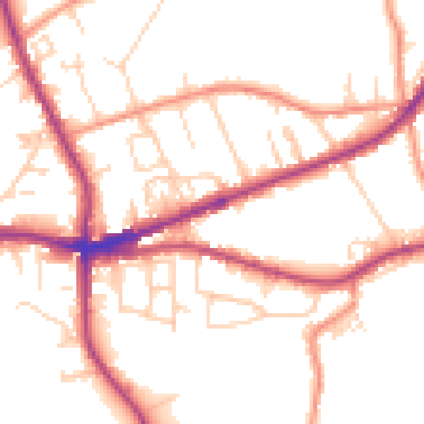
Daytime· 07:00 – 23:00
51.5dB

Night-time· 23:00 – 07:00
43.2dB